Convert X-Plane airport data to GIS-friendly formats like GeoJSON or ESRI Shapefile.

Project description
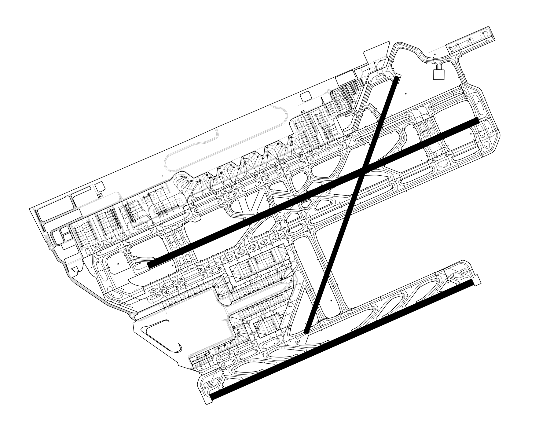
X-Plane apt.dat convert


xplane_apt_convert is a Python package and CLI application allowing to convert X-Plane airport data to GIS-friendly formats like GeoJSON or ESRI Shapefile.
Input
X-Plane apt.dat files are used as input.
Two input modes exist:
- Load a local
apt.datfile. - Automatically download airport-specific files from the X-Plane Scenery Gateway.
Note: Only tested with apt.dat files version 1100.
Output
The following output formats are supported:
| Format | Extension |
|---|---|
| ESRI Shapefile | .shp |
| FlatGeobuf | .fgb |
| GeoJSON | .geojson |
| GeoJSON lines (GeoJSONSeq) | .geojsonl |
| GeoPackage (GPKG) | .gpkg |
| GML | .gml |
| OGR_GMT | .gmt |
| SQLite | .sqlite |
Supported Features
The following airport features are supported:
- Windsocks (row code
19) - Ground signs (row code
20) - Runways (row code
100) - Pavement areas (taxiway and aprons) (header row code
110) - Ground markings (linear features) (header row code
120) - Airport boundary (header row code
130) - Aircraft startup locations (parking and gates) (row code
1300) - Airport metadata (row code
1302)
Installation
The xplane_apt_convert Python package can be installed using pip:
pip install xplane_apt_convert
Python 3.10 and above
When using Python 3.10 and above, you might encounter the following error during the installation of the bezier dependency:
The BEZIER_INSTALL_PREFIX environment variable must be set.
To solve it, you can install the pure Python version of the bezier package by running:
BEZIER_NO_EXTENSION=true pip install bezier --no-binary=bezier
And then try installing xplane_apt_convert again.
See dhermes/bezier/issues/283 for more details about this issue.
CLI Basic Usage
Convert an airport in a local apt.dat file to GeoJSON:
python -m xplane_apt_convert -a LEBL -i ./apt.dat -o ./out/ -d GeoJSON
Convert multiple airports:
python -m xplane_apt_convert -a LEBL,LEGE,LERS,LELL -i ./apt.dat -o ./out/ -d GeoJSON
Download the recommended airport data files from the X-Plane Scenery Gateway and convert them:
python -m xplane_apt_convert -a LEBL,LEGE,LERS,LELL -g -o ./out/ -d GeoJSON
Other output file formats are available using the -d option, for example GeoJSON, ESRI Shapefile, or GPKG.
For information about all available options run the command using --help.

Python Basic Usage
Convert an airport in a local apt.dat file to GeoJSON:
from xplane_airports.AptDat import AptDat
from xplane_apt_convert import ParsedAirport

input_file = "./apt.dat"
airport_id = "LEBL"

with open(input_file, "r") as f:
    apt_dat = AptDat.from_file_text(f.read(), input_file)

apt = apt_dat.search_by_id(airport_id)

p_apt = ParsedAirport(apt)
p_apt.export("./airport.geojson")
Download an airport from the X-Plane Scenery Gateway and convert it to ESRI Shapefile:
from xplane_airports.gateway import scenery_pack
from xplane_apt_convert import ParsedAirport

airport_id = "LEBL"

recommended_pack = scenery_pack(airport_id)
apt = recommended_pack.apt

p_apt = ParsedAirport(apt)
p_apt.export("./airport.shp", driver="ESRI Shapefile")
See the function's docstring for more information on all the allowed arguments.
License
This software is licensed under the terms of the MIT License.


Download files
Download the file for your platform. If you're not sure which to choose, learn more about installing packages.
Source Distribution
Built Distribution
Filter files by name, interpreter, ABI, and platform.
If you're not sure about the file name format, learn more about wheel file names.
Copy a direct link to the current filters
File details
Details for the file xplane_apt_convert-0.5.7.tar.gz.
File metadata
- Download URL: xplane_apt_convert-0.5.7.tar.gz
- Upload date:
- Size: 15.8 kB
- Tags: Source
- Uploaded using Trusted Publishing? No
- Uploaded via: twine/6.2.0 CPython/3.12.4
File hashes
| Algorithm | Hash digest | |
|---|---|---|
| SHA256 |
5ac1de961e9f54525eef040cf5320758d8ef631758491acd41c84be80a5d75f9
|
|
| MD5 |
4dcfc9b60b62f48c8039ba1b7647a096
|
|
| BLAKE2b-256 |
c9a761811c6c0d35f261257e6007993248e94eeb9f77cc8d87a89cceb7d81e33
|
File details
Details for the file xplane_apt_convert-0.5.7-py3-none-any.whl.
File metadata
- Download URL: xplane_apt_convert-0.5.7-py3-none-any.whl
- Upload date:
- Size: 15.8 kB
- Tags: Python 3
- Uploaded using Trusted Publishing? No
- Uploaded via: twine/6.2.0 CPython/3.12.4
File hashes
| Algorithm | Hash digest | |
|---|---|---|
| SHA256 |
b0476e8c7010d301fb33567e1b499509d193999b205d24b9b044b730d334fa75
|
|
| MD5 |
980c58b2ac02db9ab29404c842fb1bc0
|
|
| BLAKE2b-256 |
5ff2867054e954f23cab2ad8240c1c348f74a8de118134d526ef83f7edd07fdd
|


