
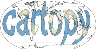
Cartopy is a Python package designed to make drawing maps for data analysis and visualisation easy.
It features:
object oriented projection definitions
point, line, polygon and image transformations between projections
integration to expose advanced mapping in matplotlib with a simple and intuitive interface
powerful vector data handling by integrating shapefile reading with Shapely capabilities
Documentation can be found at http://scitools.org.uk/cartopy/docs/latest/.
Code
Cartopy is licenced under GNU Lesser General Public License (LGPLv3). Development occurs at https://github.com/SciTools/cartopy.
5 maintainers


Metadata
5 maintainers
Release files for Cartopy 0.12.0.4
For a detailed explanation of source distributions (sdists) and built distributions (wheels), please see the package formats documentation.
Source distribution (sdist)
| File | Size | Uploaded | |
|---|---|---|---|
| Cartopy-0.12.0.4.tar.gz | 7.7 MB | Details |
Release files / Cartopy-0.12.0.4.tar.gz
| Download URL | Cartopy-0.12.0.4.tar.gz |
|---|---|
| Size | 7.7 MB |
| Tags | Source |
|
SHA-256 checksum How to use checksums |
f2796874bd1d8abf6b65324acd38f15f731a4ad1b0e9a806bf14036c946c4c87
|
|
BLAKE2b-256 checksum How to use checksums |
6cfae4c45bd9c78e43f78d30b8d5e6fb884c045b017af51499f0b919ed8ce72c
|
| Upload date | |
|
Uploaded using Trusted Publishing? What is trusted publishing? |
No |














