DEM reconditioning for hydrological applications
Project description
hydro-snap
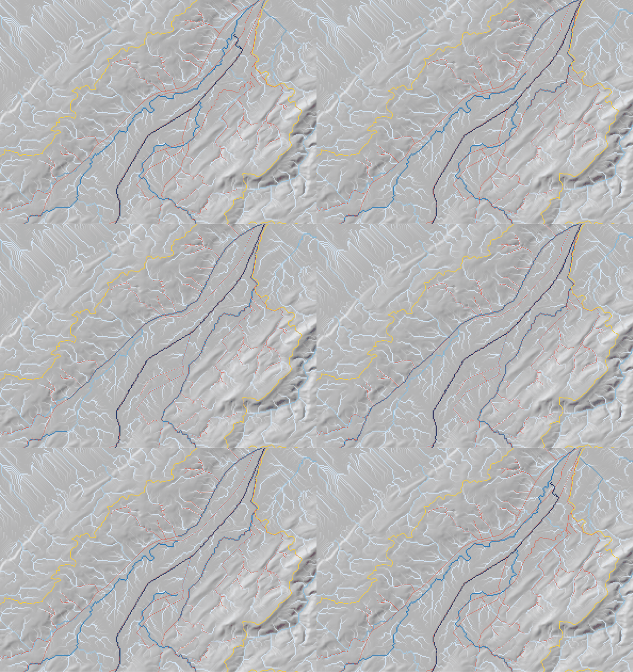
Hydro-snap is a precise and efficient tool for seamlessly aligning digital elevation models (DEMs) with mapped stream networks, ensuring accurate hydrological flow paths with minimal terrain alteration.
Example of a DEM before (left) and after (right) alignment with HydroSnap. The DEM on the right has been aligned with the mapped stream network, ensuring accurate hydrological flow paths.
Installation
hydro-snap can be installed using pip:
pip install hydro-snap
Usage
Hydro-snap can be used to align a DEM with a mapped stream network using the following code:
from hydro_snap import recondition_dem

# Recondition the DEM
recondition_dem(DEM_PATH, STREAMS_SHP, OUTPUT_DIR, delta=DELTA, outlet_shp=OUTLET_SHP, catchment_shp=CATCHMENT_SHP,
                breaches_shp=BREACHES_SHP)
Project details
Download files
Download the file for your platform. If you're not sure which to choose, learn more about installing packages.
Source Distribution
hydro_snap-0.0.1.tar.gz
(6.8 kB
view hashes)
Built Distribution
Close
Hashes for hydro_snap-0.0.1-py3-none-any.whl
| Algorithm | Hash digest | |
|---|---|---|
| SHA256 | c5edf017b2219825a03ec0e4f9e4249fe6f402344069331c1119ef7539bd922d |
|
| MD5 | 648205f58631bb42fa8bb2642f06985a |
|
| BLAKE2b-256 | f2c0f9f60034818a97d9cb143f4f16c0bd5590bcf758ee478f8913bd0bc8c9e5 |


