
ObjectNat



ObjectNat is an open-source library created for geospatial analysis created by IDU team
Features and how to use
-
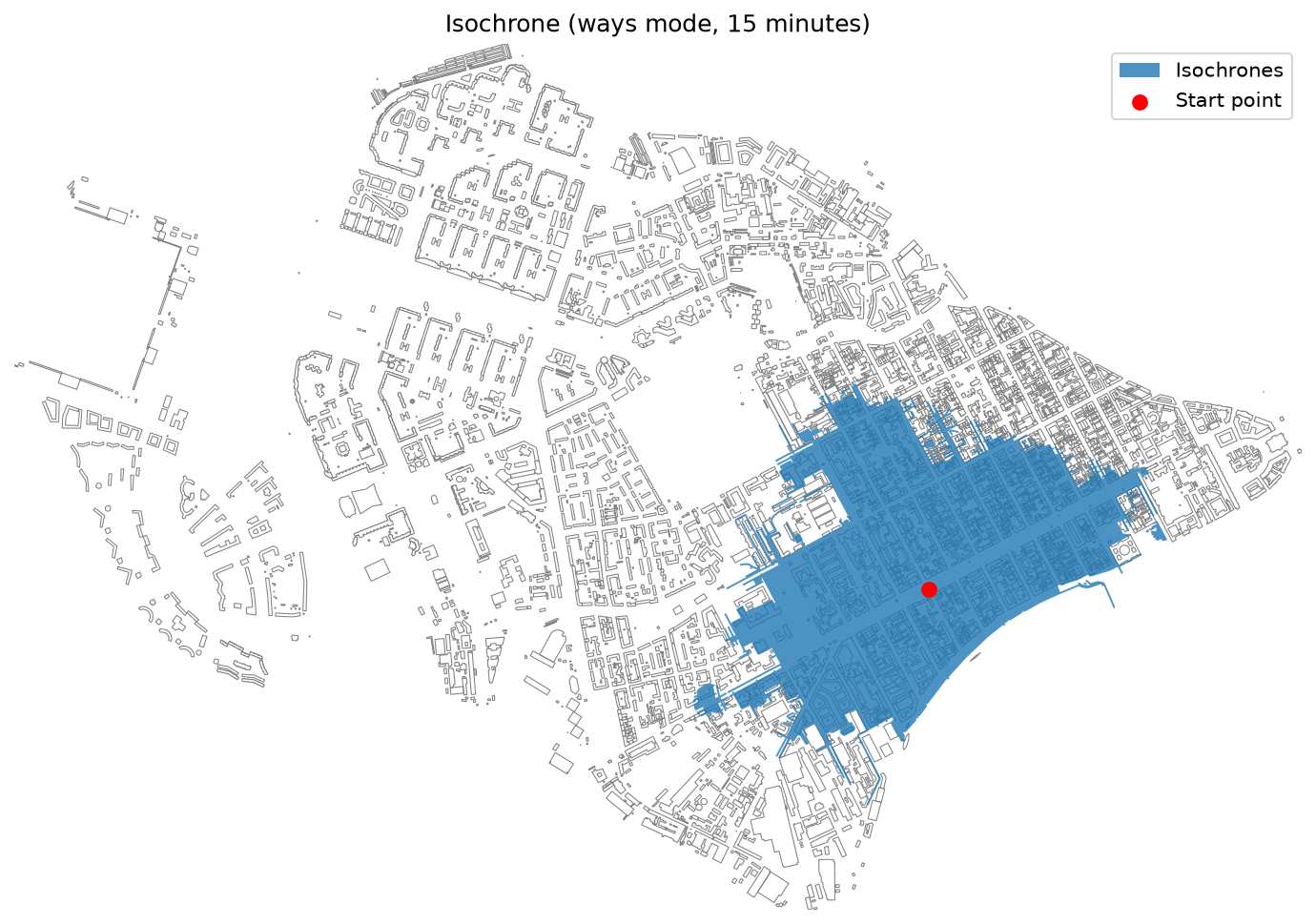
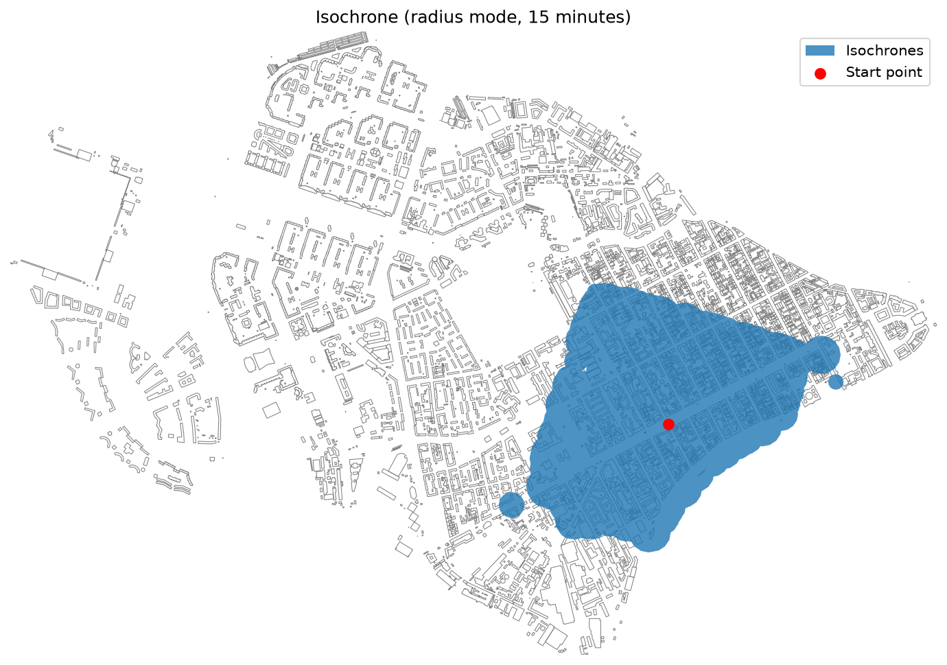
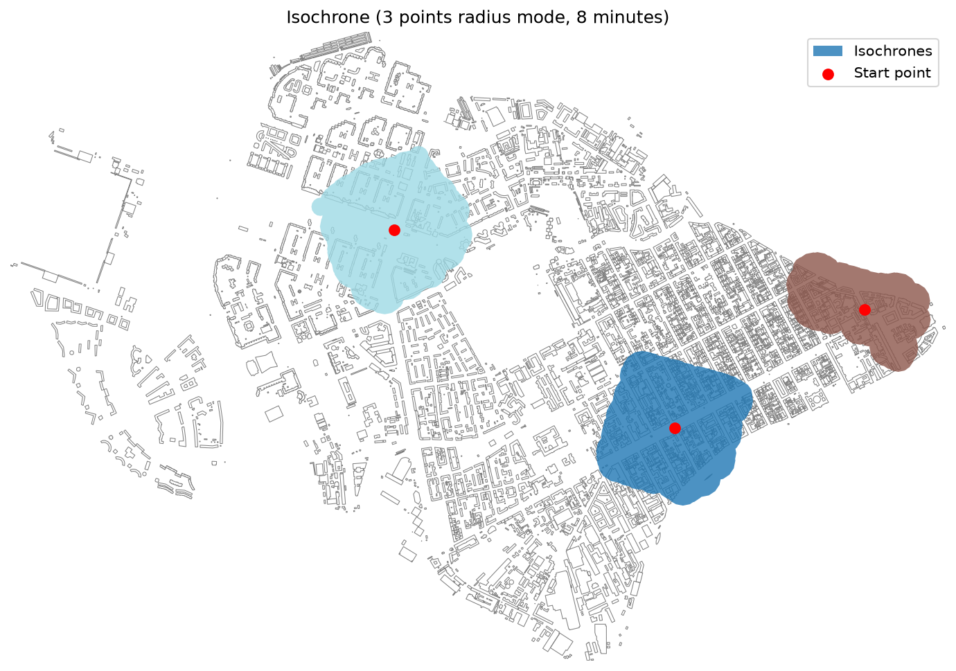
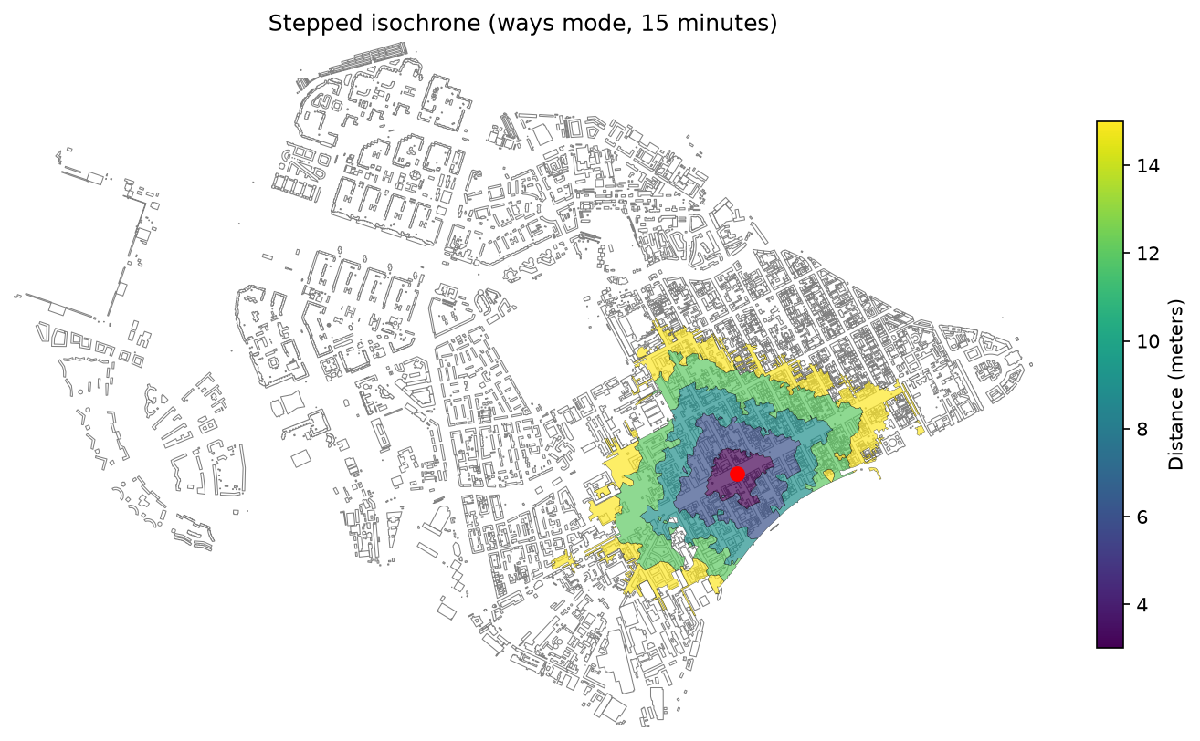
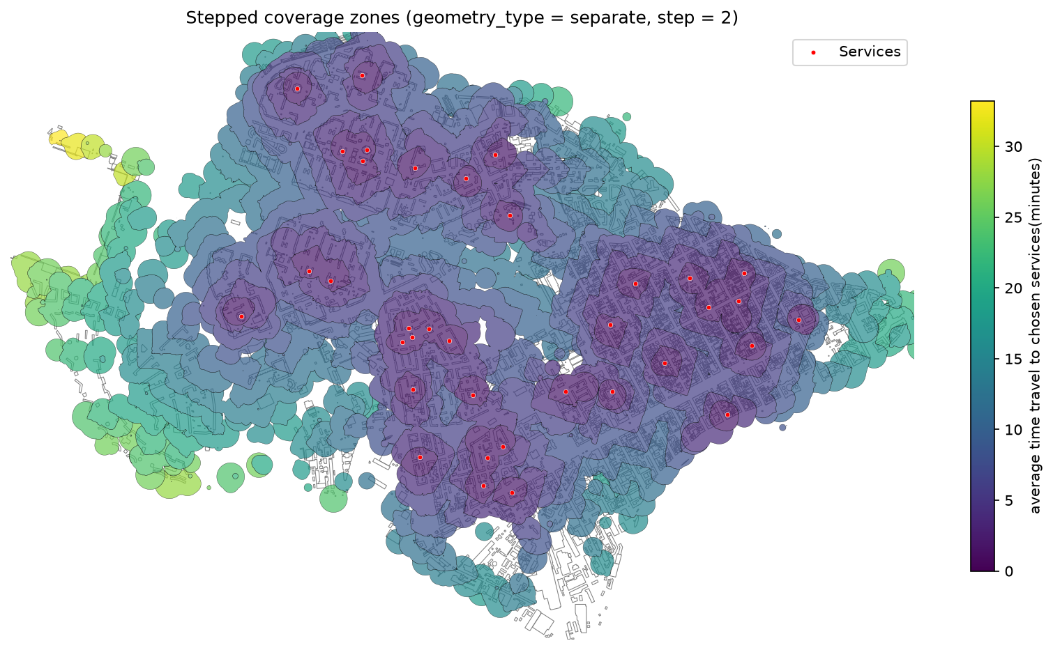
Isochrones and Transport Accessibility — Isochrones represent areas reachable from a starting point within a given time limit along a transport network. This function enables analysis of transport accessibility using pedestrian, automobile, public transport graphs, or their combination.
The library offers multiple isochrone generation methods:
- Baseline isochrones: show a single area reachable within a specified time.
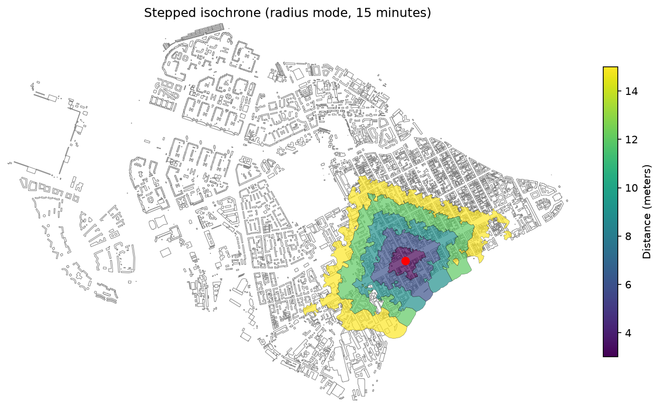
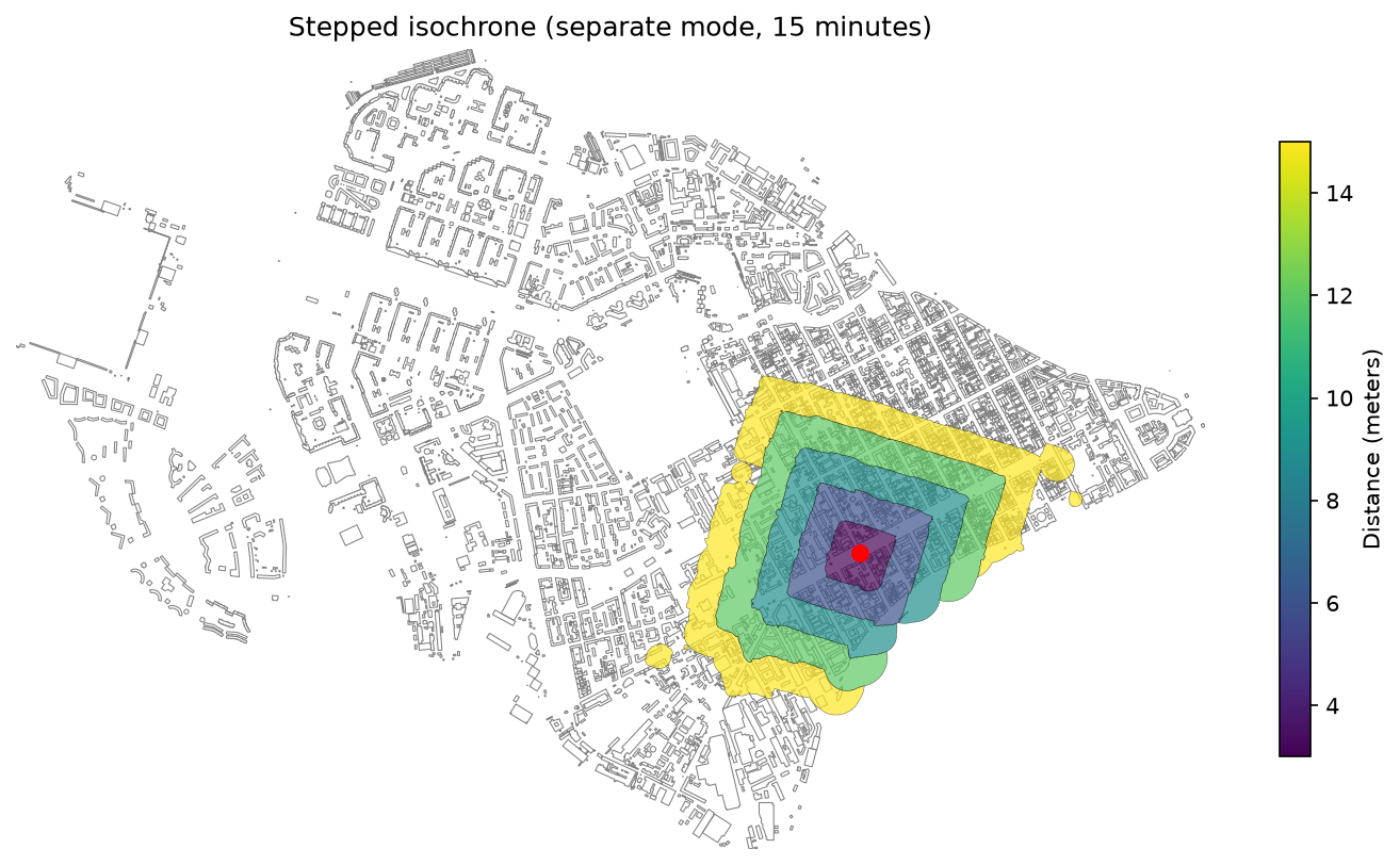
- Stepped isochrones: show accessibility ranges divided into time intervals (e.g., 5, 10, 15 minutes).
-
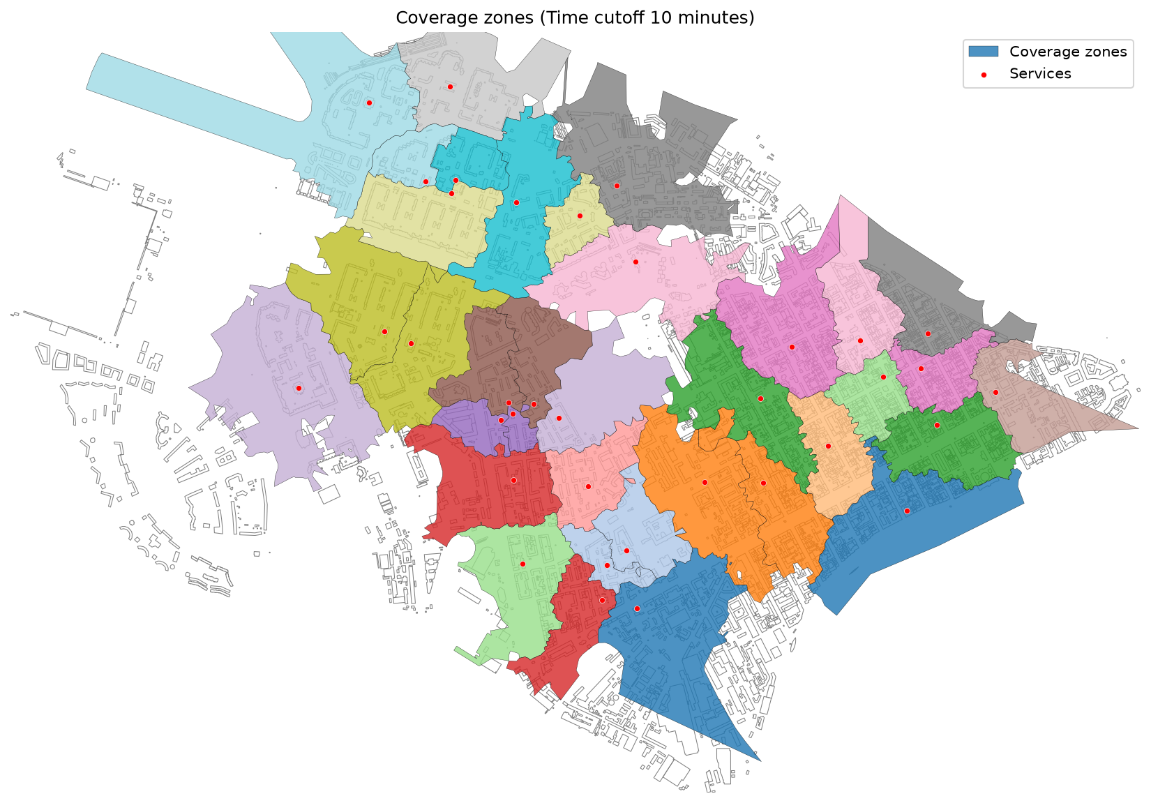
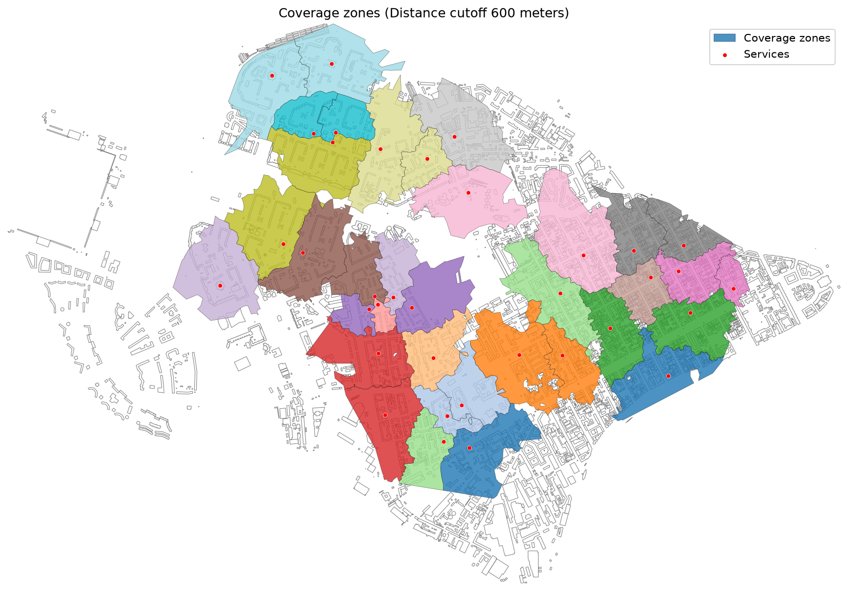
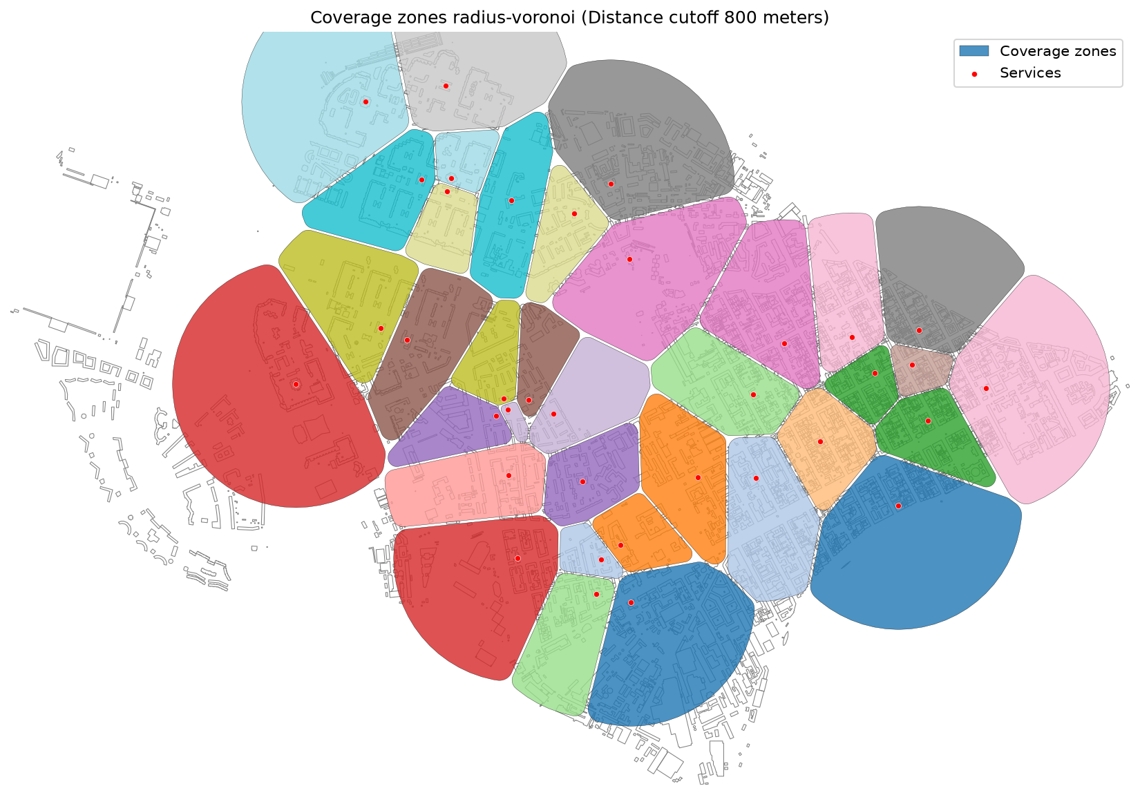
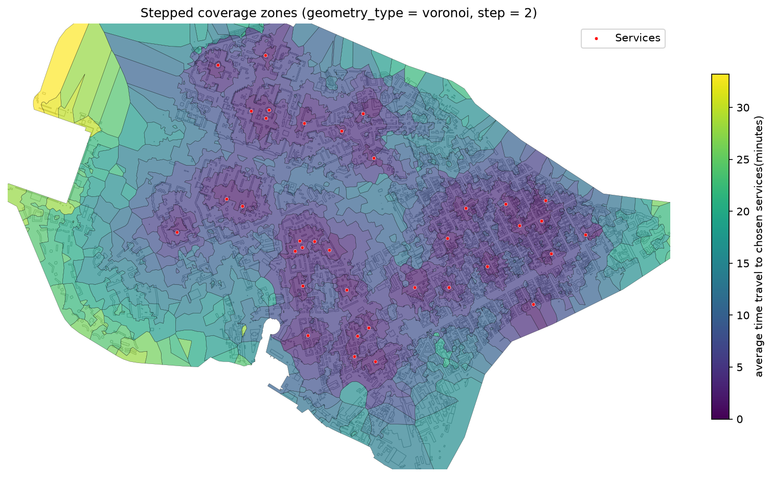
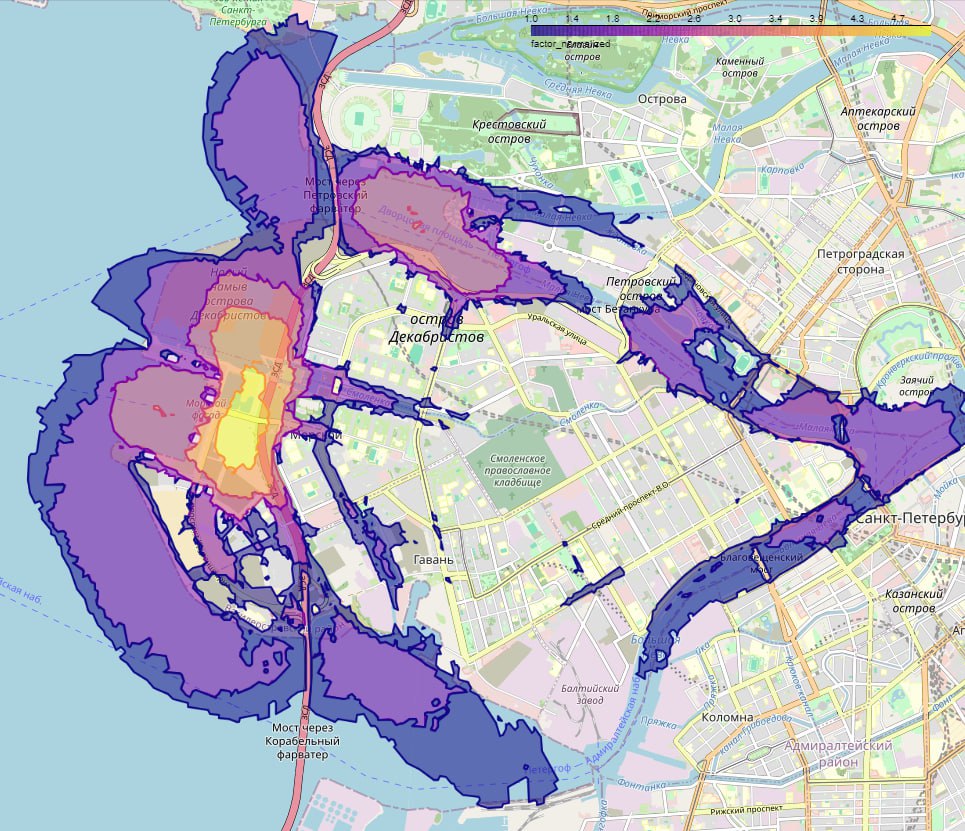
Coverage Zones — Function for generating coverage zones from a set of source points using a transport network. It calculates the area each point can reach based on travel time or distance, then builds polygons via Voronoi diagrams and clips them to a custom boundary if provided.
-
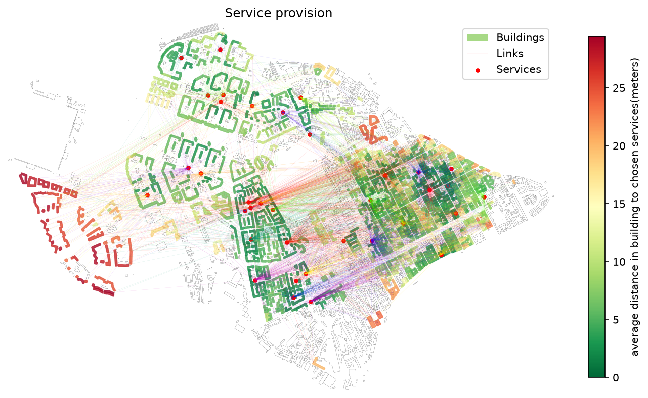
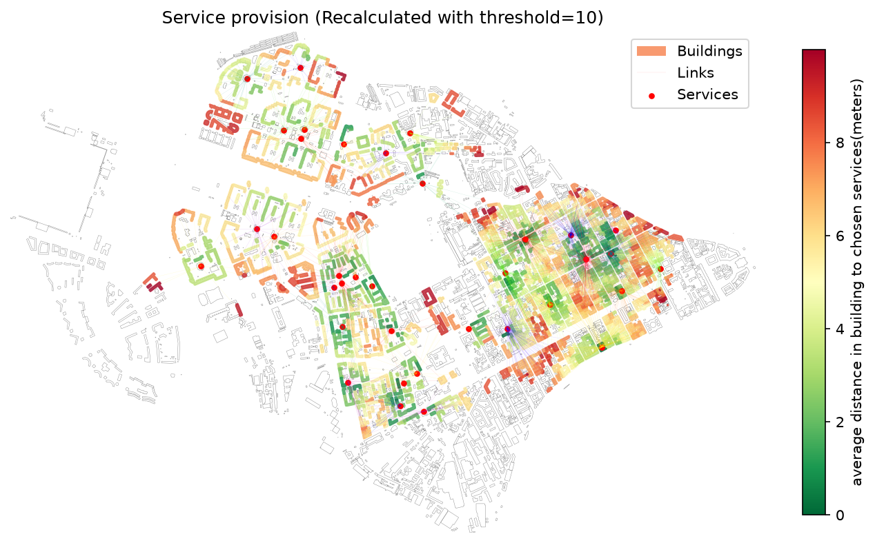
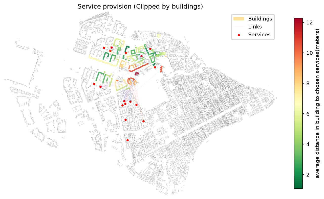
Service Provision Analysis — Function for evaluating the provision of residential buildings and their population with services (e.g., schools, clinics) that have limited capacity and a defined accessibility threshold (in minutes or distance). The function models demand-supply balance, estimating how well services meet the needs of nearby buildings within the allowed time.
The library also supports:
- Recalculation of existing provision results using a new time threshold.
- Clipping of provision results to a custom analysis area (e.g., administrative boundaries).
-
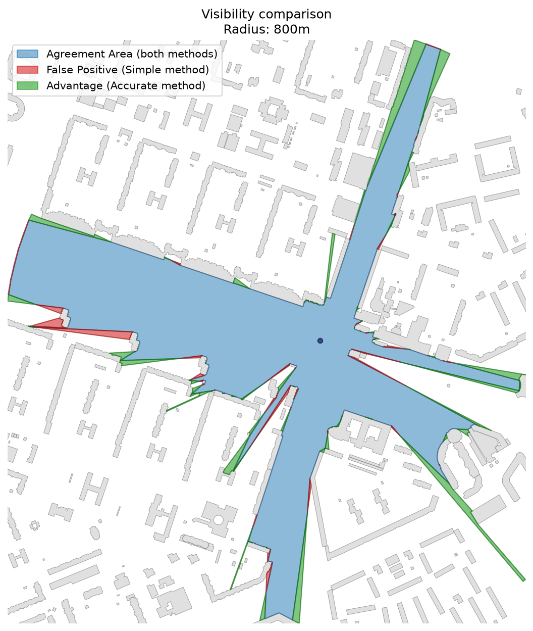
Visibility Analysis — Function for estimating visibility from a given point or multiple points to nearby buildings within a certain distance. This can be used to assess visual accessibility in urban environments. The library also includes a catchment area calculator for large-scale visibility analysis based on a dense grid of observer points (recommended: ~1000 points spaced 10–20 meters apart). Points can be generated using a road network and distributed along edges.
The module includes:
- A fast approximate method for large datasets.
- A accurate method for detailed local analysis.
-
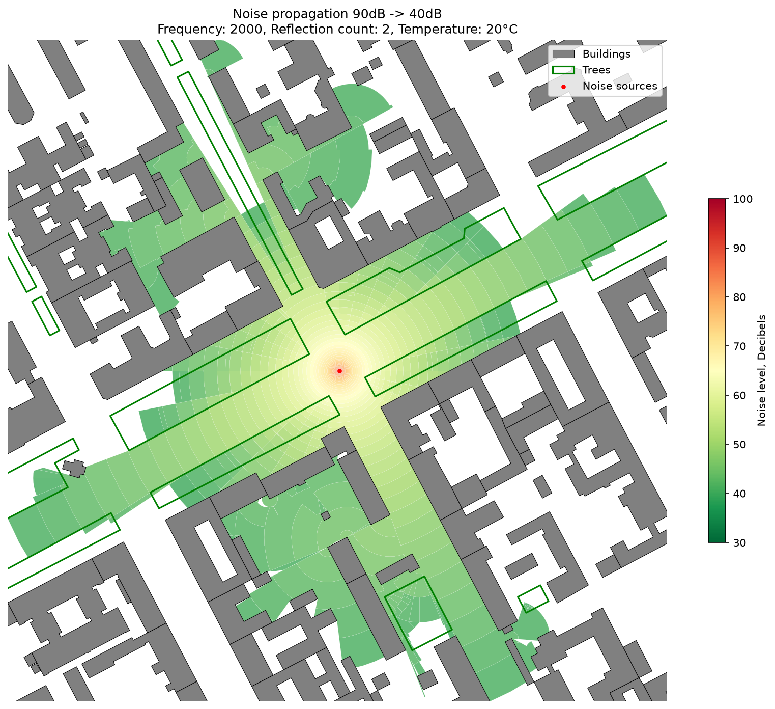
Noise Simulation — Simulates noise propagation from a set of source points, taking into account obstacles, vegetation, and environmental factors.
🔗 See detailed explanation in the Wiki
-
Point Clusterization — Function to generate cluster polygons from a set of input points based on:
- Minimum distance between points.
- Minimum number of points per cluster.
Additionally, the function can calculate the relative ratio of different service types within each cluster, enabling spatial analysis of service composition.

City graphs
To ensure optimal performance of ObjectNat's geospatial analysis functions, it's recommended to utilize urban graphs sourced from the IduEdu library. IduEdu is an open-source Python library designed for the creation and manipulation of complex city networks derived from OpenStreetMap data.
IduEdu can be installed with pip:
pip install IduEdu
Installation
ObjectNat can be installed with pip:
pip install ObjectNat
Configuration changes
from objectnat import config

config.change_logger_lvl('INFO')  # To mute all debug msgs
config.set_enable_tqdm(False)  # To mute all tqdm's progress bars
Contacts
- NCCR - National Center for Cognitive Research
- IDU - Institute of Design and Urban Studies
- Natalya Chichkova - project manager
- Danila Oleynikov (Donny) - lead software engineer
Publications
1 maintainer

Metadata
1 maintainer
Release files for ObjectNat 1.1.0
For a detailed explanation of source distributions (sdists) and built distributions (wheels), please see the package formats documentation.
Source distribution (sdist)
| File | Size | Uploaded | Provenance | Actions |
|---|---|---|---|---|
| objectnat-1.1.0.tar.gz | 36.4 kB | Without provenance | Details for objectnat-1.1.0.tar.gz |
Built distribution (wheel)
| File | Interpreter | ABI | Platform | Actions Reset |
|---|---|---|---|---|
| objectnat-1.1.0-py3-none-any.whl | Python 3 | none | any | Details for objectnat-1.1.0-py3-none-any.whl |
Total release size: 81.6 kB
Release files / objectnat-1.1.0.tar.gz
| Download URL | objectnat-1.1.0.tar.gz |
|---|---|
| Size | 36.4 kB |
| Tags | Source |
|
SHA-256 checksum How to use checksums |
4ce4abb7f7e31e0aee32b6d49e0f4d390cc6bca78ff9b60d7942951825110363
|
|
BLAKE2b-256 checksum How to use checksums |
dea29e1690250a7bba02a93c8de643000e70caed61ad48f622efd1e1bd27ce9c
|
| Upload date | |
|
Uploaded using Trusted Publishing? What is trusted publishing? |
No |
| Uploaded via |
poetry/1.8.1 CPython/3.10.11 Windows/10
|
Release files / objectnat-1.1.0-py3-none-any.whl
| Download URL | objectnat-1.1.0-py3-none-any.whl |
|---|---|
| Size | 45.1 kB |
| Tags | Python 3 |
|
SHA-256 checksum How to use checksums |
f524045c0fcfb60535187a73dc9f3db04213f0157d5b1a8aa816a089f2ff89fd
|
|
BLAKE2b-256 checksum How to use checksums |
a6418427165e7a78391c9b9125343239b05ba789bd04c2639b0f4f260446ddfe
|
| Upload date | |
|
Uploaded using Trusted Publishing? What is trusted publishing? |
No |
| Uploaded via |
poetry/1.8.1 CPython/3.10.11 Windows/10
|
Security for ObjectNat 1.1.0
Provenance
Provenance describes where a file came from. On PyPI, provenance is shared via attestations, which provide a verifiable record of the build or publishing details. View details, limitations and caveats.
No provenance found
None of the files in this release were uploaded with provenance metadata.
A note on package security
PyPI is a repository for distributing packages, not a service for auditing them. While third-party security researchers and our staff do their best to detect and remove malicious packages, PyPI cannot guarantee the quality, security or suitability of any given package.
To learn more about protecting yourself from malicious actors, visit our package security documentation.














