
asterra
Support-aware machine learning for Earth observation.
Motivation
Earth observation (EO) machine learning workflows routinely mix data sources and label types with mismatched spatial supports:
- sensors with different pixel sizes (e.g., Sentinel-2 vs PlanetScope)
- labels defined on parcels/fields, tiles, scenes, or time windows (not per-pixel)
- coarse-to-fine (and fine-to-coarse) supervision
- patch overlap leakage and neighborhood dependence in evaluation
Ignoring these mismatches often leads to:
- biased features/labels due to incorrect aggregation
- silent leakage (overlapping patches, neighboring pixels, same-tile same-date)
- metrics that do not correspond to the true label support
What Asterra does
Asterra is a NumPy-first, scikit-learn-compatible package for building support-aware pipelines.
The core abstraction is a sparse, overlap-based SupportMatrix that maps one support to another. It powers:
- mixed-resolution aggregation and projection (grid ↔ grid, samples → groups)
- support-aware feature and label projection
- leakage-safe splitting utilities (buffers, tile/time grouping)
- support-aware metrics
Installation
# Once published to PyPI:
# python -m pip install asterra

# Install from source (GitHub):
python -m pip install "asterra @ git+https://github.com/ArnaBannonymus/asterra.git@main"
Optional geospatial extras (not required for pixel-space workflows):
python -m pip install "asterra[geo] @ git+https://github.com/ArnaBannonymus/asterra.git@main"
Quickstart
import numpy as np
from asterra.data import EOData
from asterra.io import sensors
from asterra.support import SupportMatrix

# Synthetic Sentinel-2-like grid (H, W, B)
arr_s2 = np.random.RandomState(0).randn(32, 32, 4).astype("float32")
e_s2 = EOData.from_array(
    arr_s2,
    band_schema=sensors.sentinel2_rgbn(),
    support={"kind": "grid", "resolution": (10.0, 10.0), "origin": (0.0, 0.0)},
)

# Synthetic PlanetScope-like grid on a different resolution
arr_ps = np.random.RandomState(1).randn(64, 64, 4).astype("float32")
e_ps = EOData.from_array(
    arr_ps,
    band_schema=sensors.planetscope_4band(),
    support={"kind": "grid", "resolution": (5.0, 5.0), "origin": (0.0, 0.0)},
)

# Map PlanetScope pixels (source) onto Sentinel-2 pixels (target)
M = SupportMatrix.from_grid_to_grid(source=e_ps.support, target=e_s2.support)
X_ps_on_s2 = M.project_features(e_ps.as_samples())
print(X_ps_on_s2.shape)  # (32*32, 4)
Visual proofs (local datasets)
Asterra is NumPy-first and does not ship heavy geospatial file I/O. For GeoTIFF/SAFE/NetCDF products you
typically read data with tools like rasterio/xarray and then construct EOData with a BandSchema and
SupportSpec.
The figures below are generated from local datasets (not included in this repo) to sanity-check the support-aware operators on non-synthetic inputs:
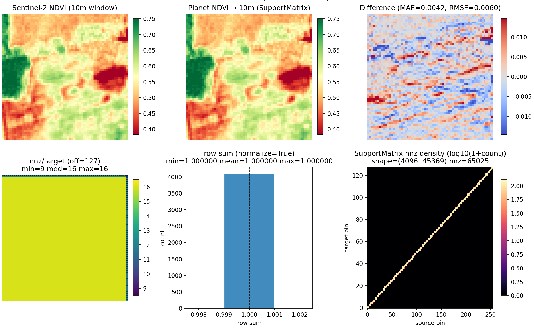
Planet (3m PF-SR) NDVI → Sentinel-2 (10m) NDVI window (SupportMatrix overlap projection + sparse structure view)
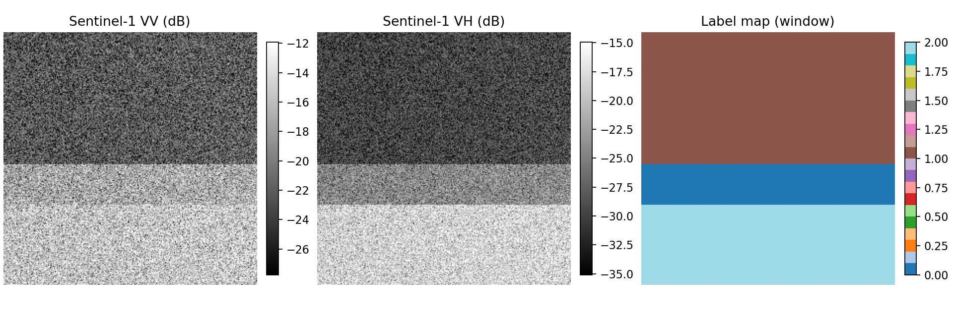
Sentinel-1 VV/VH (dB) window + label map (leakage-aware spatial CV demo data)
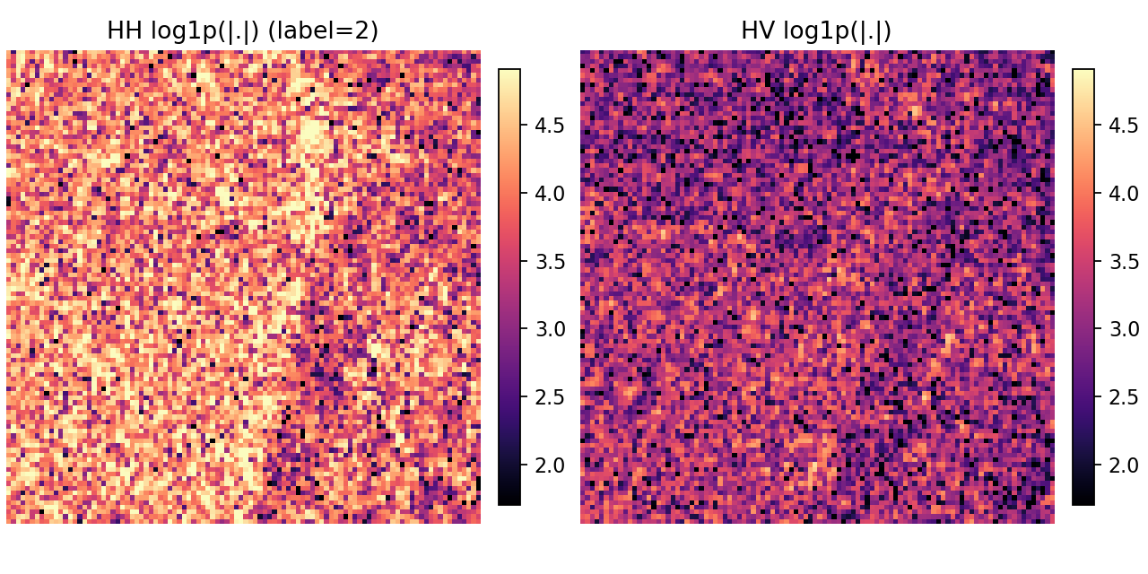
complex SAR patch example (HH/HV magnitudes)
To regenerate these visuals on your machine (with your own file paths):
python scripts/generate_readme_visuals.py \
  --planet-pf-sr /path/to/planet_pf_sr.tif \
  --s2-lr-ndvi /path/to/s2_lr_ndvi.tif \
  --s1-vv /path/to/s1_vv.tif \
  --s1-vh /path/to/s1_vh.tif \
  --label-map /path/to/label_map.tif \
  --cvdl-city-dir /path/to/S1SLC_CVDL/City
Supported inputs
.npyarrays with shapes(H, W, B),(T, H, W, B),(N, B)- generic EO arrays with user-provided metadata:
band_names- georeferencing (
resolution/originor affinetransform/crs) when available - pixel-space coordinates when georeferencing is not available
- explicit group identifiers for parcel/tile/time supports
Built-in sensor presets
Sensor helpers are convenience presets; the core library is sensor-agnostic.
- Sentinel-2 (common optical bands)
- Sentinel-1 (VV/VH-style SAR schema)
- PlanetScope (4-band and 8-band styles)
- NISAR-style configurable SAR schemas
Architecture
The project is organized to keep EO-specific functionality separate from potentially generic sparse support logic:
asterra.data: EO data model (array + band schema + support metadata)asterra.support: sparse support operators (SupportMatrix, projection)asterra.preprocessing: reshape/masking and band-aware transformersasterra.model_selection: leakage-aware splitters/utilitiesasterra.metrics: support-aware metricsasterra.io:.npyloader + sensor presets
See DESIGN_BOUNDARIES.md and UPSTREAMING.md for boundary notes and candidate generic components.
Release status
0.1.x is an early, focused release line. The API is intentionally narrow and may evolve based on user feedback
and scientific validation.
Roadmap (high level)
- richer support specifications (polygons/parcels via optional geo extras)
- additional support-aware scorers and splitters
- integration examples with local EO stacks (while keeping the core sensor-agnostic)
1 maintainer

Metadata
1 maintainer
Release files for asterra 0.1.3
For a detailed explanation of source distributions (sdists) and built distributions (wheels), please see the package formats documentation.
Source distribution (sdist)
| File | Size | Uploaded | |
|---|---|---|---|
| asterra-0.1.3.tar.gz | 1.3 MB | Details |
Built distribution (wheel)
| File | Interpreter | ABI | Platform | Reset |
|---|---|---|---|---|
| asterra-0.1.3-py3-none-any.whl | Python 3 | none | any | Details |
Total release size: 1.3 MB
Release files / asterra-0.1.3.tar.gz
| Download URL | asterra-0.1.3.tar.gz |
|---|---|
| Size | 1.3 MB |
| Tags | Source |
|
SHA-256 checksum How to use checksums |
acde1ab094ed21df225b97236edfaf22612286794107e67464846a1b4bc0bb02
|
|
BLAKE2b-256 checksum How to use checksums |
f8b5f0f4d8562fe5d7c7eef131e88d4438908cda18a2f4e192cba6d9242065fd
|
| Upload date | |
|
Uploaded using Trusted Publishing? What is trusted publishing? |
Yes |
| Uploaded via |
twine/6.1.0 CPython/3.13.12
|
Provenance
Provenance describes where a file came from. On PyPI, provenance is shared via attestations, which provide a verifiable record of the build or publishing details. View details, limitations and caveats.


PyPI Publish Attestation
PyPI verified that this artifact, at this checksum, originated from the publisher listed below.
Signed by GitHub Actions, verified by PyPI on Apr 17, 2026.
Transparency logRelease files / asterra-0.1.3-py3-none-any.whl
| Download URL | asterra-0.1.3-py3-none-any.whl |
|---|---|
| Size | 28.5 kB |
| Tags | Python 3 |
|
SHA-256 checksum How to use checksums |
b8af91f612f084ff216e9a342b6233766b4838a2a69da4085c1926d80bc2a9d7
|
|
BLAKE2b-256 checksum How to use checksums |
60009920a02b1fb7cdcb0ab52df13b505141f3cc6a703b32b446b94cb27235ee
|
| Upload date | |
|
Uploaded using Trusted Publishing? What is trusted publishing? |
Yes |
| Uploaded via |
twine/6.1.0 CPython/3.13.12
|
Provenance
Provenance describes where a file came from. On PyPI, provenance is shared via attestations, which provide a verifiable record of the build or publishing details. View details, limitations and caveats.
PyPI Publish Attestation
PyPI verified that this artifact, at this checksum, originated from the publisher listed below.
Signed by GitHub Actions, verified by PyPI on Apr 17, 2026.
Transparency log













