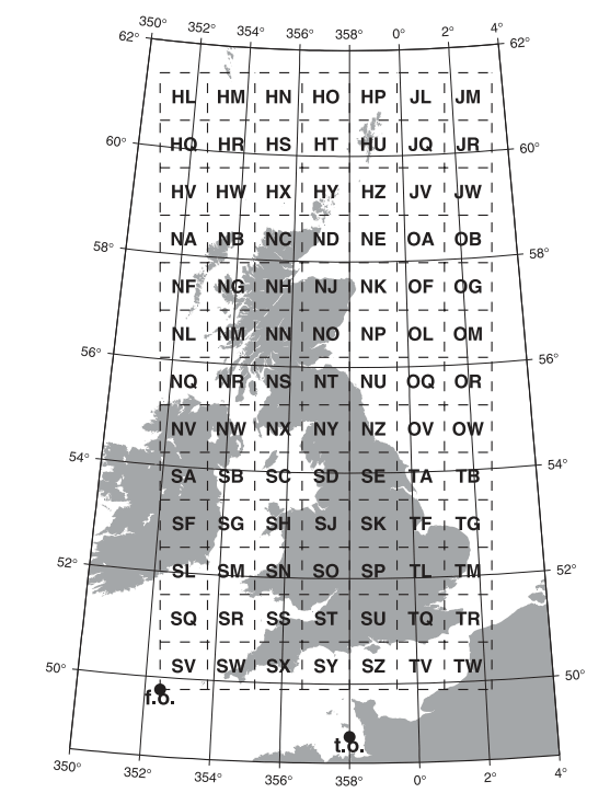
Converts british national grid (OSBG36) to lat lon (WGS84) and vice versa.
Project description
🇬🇧 BNG ⇄ LatLon🌐
Converts british national grid eastings and northings (OSBG36) to latitude and longitude (WGS84) and vice versa as used by https://blocl.uk
Originally authored by Hannah Fry.
NEW! importable, installable, PEP8 styled, pure python, doctested, with optional numba compiler support for 10x speed
Documentation
Package includes:
- bng_to_latlon.py originally published as "Converting British National Grid to Latitude and Longitude II"
- latlon_to_bng.py originally "Converting Latitude and Longitude to British National grid"
The mathematical theory used here is set out in "A guide to coordinate systems in Great Britain" by Ordnance Survey.
Installation
Get the latest stable release from PyPi:
pip install bng_latlon
optional but recommend is numba compiler
pip install numba
Usage
>>> from bng_latlon import OSGB36toWGS84
>>> OSGB36toWGS84(538890, 177320)
(51.477795, -0.001402)
...
>>> from bng_latlon import WGS84toOSGB36
>>> WGS84toOSGB36(51.4778, -0.0014)
(538890.1053, 177320.4965)
MIT licensed. Designed in the UK, published from Slovakia. Blocl Schools.
Project details
Release history Release notifications | RSS feed
Download files
Download the file for your platform. If you're not sure which to choose, learn more about installing packages.
Source Distribution
File details
Details for the file bng_latlon-1.1.tar.gz.
File metadata
- Download URL: bng_latlon-1.1.tar.gz
- Upload date:
- Size: 6.1 kB
- Tags: Source
- Uploaded using Trusted Publishing? No
- Uploaded via: twine/4.0.0 CPython/3.10.2
File hashes
| Algorithm | Hash digest | |
|---|---|---|
| SHA256 |
2428c3949907754b9c5db8abb34ac5d1ccbc190a131678ea74c76d146095f3d3
|
|
| MD5 |
ce4e83b28af1ef3323cce8f083626290
|
|
| BLAKE2b-256 |
d8b6a81011c3eb1a15120233fed7a08f88cc937dbbca9e3da3f8785baf6d4d57
|


