Geo-aware poisson blending.

Project description
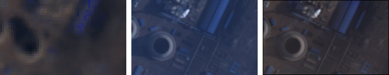
Geoblend implements poisson blending in Python. Poisson blending is an imaging technique that imposes the color of one image onto another image. This implementation conserves the gradient field of the image being blended.
Release history Release notifications | RSS feed

Download files
Download the file for your platform. If you're not sure which to choose, learn more about installing packages.
Source Distribution
geoblend-0.2.3.dev0.tar.gz
(406.5 kB
view details)
File details
Details for the file geoblend-0.2.3.dev0.tar.gz.
File metadata
- Download URL: geoblend-0.2.3.dev0.tar.gz
- Upload date:
- Size: 406.5 kB
- Tags: Source
- Uploaded using Trusted Publishing? No
File hashes
| Algorithm | Hash digest | |
|---|---|---|
| SHA256 |
3817b77b739cccbb855eb60820b95247146afc2da9abf83d6db9346394179e91
|
|
| MD5 |
4307c597b712b22dc99c68d0152b4047
|
|
| BLAKE2b-256 |
99afd1ee99f597d65e5f3eacc45291f38ce201b5267359cd3dbf36f87a3a587d
|


