
This release is a pre-release and may not be stable for production use.
Raster –> vector surface creation tools in python
Installation
From GitHub:
pip install -e git+git@github.com:mapbox/make-surface.git#egg=makesurface
From PyPI
pip install makesurface --pre
Manual
Install dependencies:
‘click>=3.0’, ‘fiona’, ‘numpy’, ‘rasterio’, ‘shapely’, ‘scipy’, ‘mercantile’, ‘pyproj’
Clone this repo:
:console:git clone git@github.com:mapbox/make-surface.git
cd into :console:make-surface then pip install -e .
Usage - Vectorize
makesurface vectorize [OPTIONS] INFILE
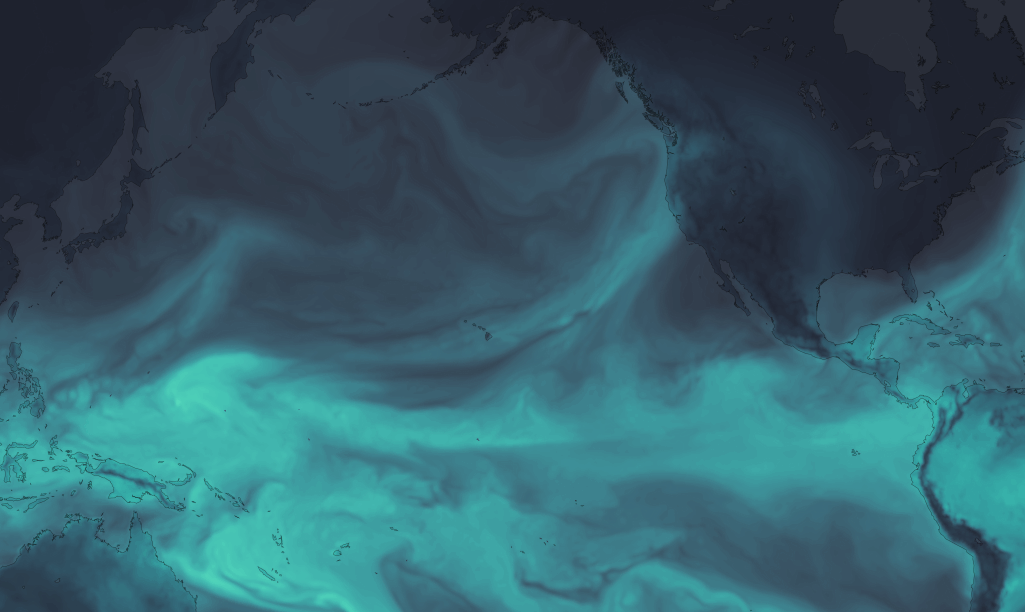
Takes an input raster, and converts into a stacked shapefile. Sort of like gdal polygonize with more control, optimized for vector tiles. Also can print out a CartoCSS template for stylizing (one style for each class).
image
Options:
--outfile TEXT           Write to GeoJSON
-b, --bidx INTEGER       Input band to vectorize. [default = 1]
-cl, --classes TEXT      Number of output classes, OR "all" for rounded
                         input values (ignored if class file specified)
                         [default = 10]
-cf, --classfile TEXT    One-line CSV of break values [default = None]
-w, --weight FLOAT       Weighting between equal interval and quantile
                         breaks [default = 1 / equal interval]
-s, --smoothing INTEGER  Value by which to zoom and smooth the data [default
                         = None]
-n, --nodata TEXT        Manually defined nodata value - can be any number
                         or "min" [default = None]
-ov, --outvar TEXT       Name of output variable [Default = value]
-set, --setnodata FLOAT  Value to set nodata to (eg, if nodata / masked, set
                         pixel to this value) [default = None]
-c, --carto
-ni, --nibble            Expand mask by 1 pixel
--axonometrize FLOAT     EXPERIMENTAL
-ns, --nosimple
--help                   Show this message and exit.
Usage - Triangulate
makesurface triangulate [OPTIONS] ZOOM
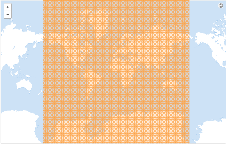
Creates an empty triangular lattice:
Options:
  --bounds FLOAT...  Bounding Box ("w s e n") to create lattice in
  --tile INTEGER...  Tile ("x y z") to create lattice in
  --output TEXT      File to write to (.geojson)
  --help             Show this message and exit.
Usage - fillfacets
makesurface fillfacets [OPTIONS] SAMPLERASTER [INFILE]
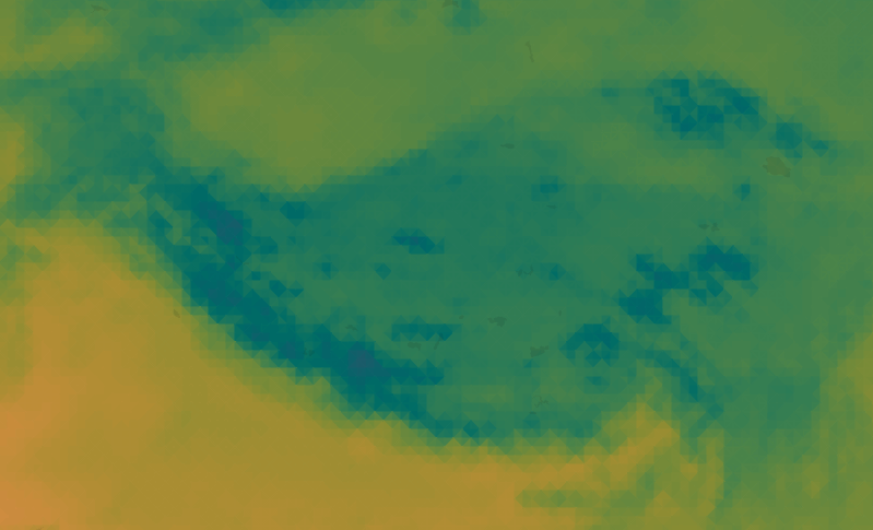
Use GeoJSON-like triangle geometry to get average regional raster value for that geometry
image
Options:
--output TEXT           Write output to .json [default - print to stdout]
-b, --bidxs TEXT...     Band to sample [default=1]
--zooming INTEGER       Manual upsampling of raster for sampling [Default =
                        upsampling by estimated polygon density]
-np, --noproject        Do not project data
-ogjs, --outputgeojson  Output updated GeoJSON
-bp, --batchprint TEXT
-cl, --color
--help                  Show this message and exit.
1 maintainer

Release files for makesurface 0.2.8dev
For a detailed explanation of source distributions (sdists) and built distributions (wheels), please see the package formats documentation.
Source distribution (sdist)
| File | Size | Uploaded | |
|---|---|---|---|
| makesurface-0.2.8dev.tar.gz | 10.4 kB | Details |
Release files / makesurface-0.2.8dev.tar.gz
| Download URL | makesurface-0.2.8dev.tar.gz |
|---|---|
| Size | 10.4 kB |
| Tags | Source |
|
SHA-256 checksum How to use checksums |
1d14cb4ffc6216629a26405a686ae4bb8dde92b57f6b9c49e0aed9a012d2294b
|
|
BLAKE2b-256 checksum How to use checksums |
f48416ac172df043fc79f985c63f6565ea3704735c0bcc91443b88bf85541e43
|
| Upload date | |
|
Uploaded using Trusted Publishing? What is trusted publishing? |
No |














