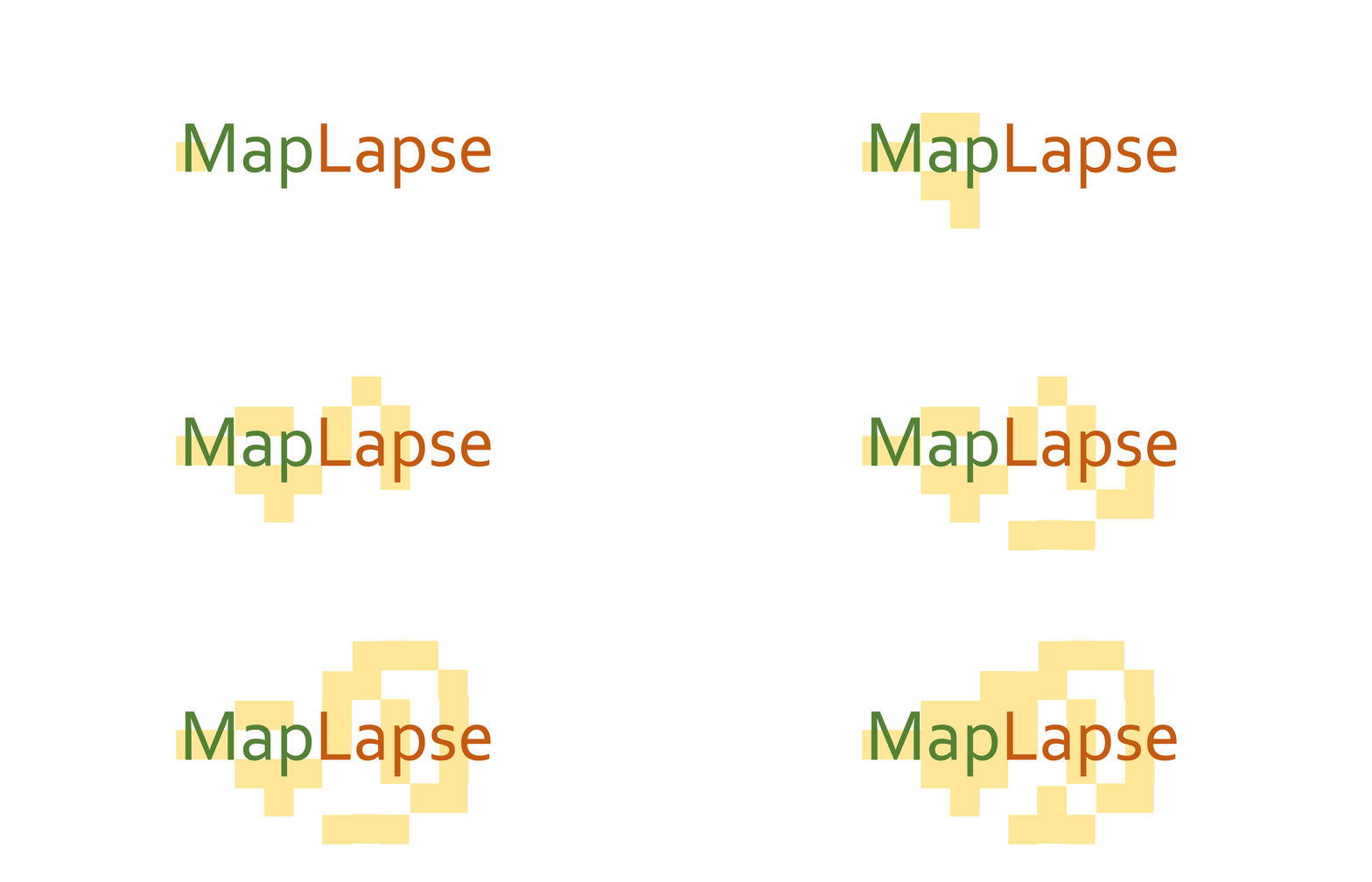
A python library to create animated timelapse of maps
Project description


MapLapse is a Python-based library to create animated timelapse maps from given shapefiles. It is mainly built on top of geopandas and matplotlib, along with other open-source geospatial packages.
Key Features
- Animated choropleth maps
- Animated proportional circle maps
- Supports output in
.gifand.mp4
Example
The Animator object of maplapse can easily create the animations. Here is a code snippet:
anim = Animator(shape='/county_shape.shp',
                value='/century_data.csv',
                time_column='Year',
                data_column='Value',
                shape_unique_column='ST_CNT',
                map_type='choropleth',
                out_path='/animation.gif')
anim.animate()
Output:
Installation
Simply use pip install maplapse.
Problems
If you face any issues with the library, please create an issue by following up the steps here
Project details
Release history Release notifications | RSS feed
Download files
Download the file for your platform. If you're not sure which to choose, learn more about installing packages.
Source Distribution
maplapse-0.0.6b2.tar.gz
(7.4 kB
view hashes)
Built Distribution
Close
Hashes for maplapse-0.0.6b2-py3-none-any.whl
| Algorithm | Hash digest | |
|---|---|---|
| SHA256 | 90714bd0320606e928fc9dc7765cc1f485515267463c2258a4ec0bd10d41ccda |
|
| MD5 | 02ce96a0b4c5349b4a36c36a7567b26b |
|
| BLAKE2b-256 | 0433ea0761091bdf037fe47150966983c8c3a7184fc0b946d5338f21a7959d0a |


