
A graph-based framework for geotechnical site representation and subsurface intelligence

Project description
TerranGraph: A Graph-Based Framework for Geotechnical Site Representation
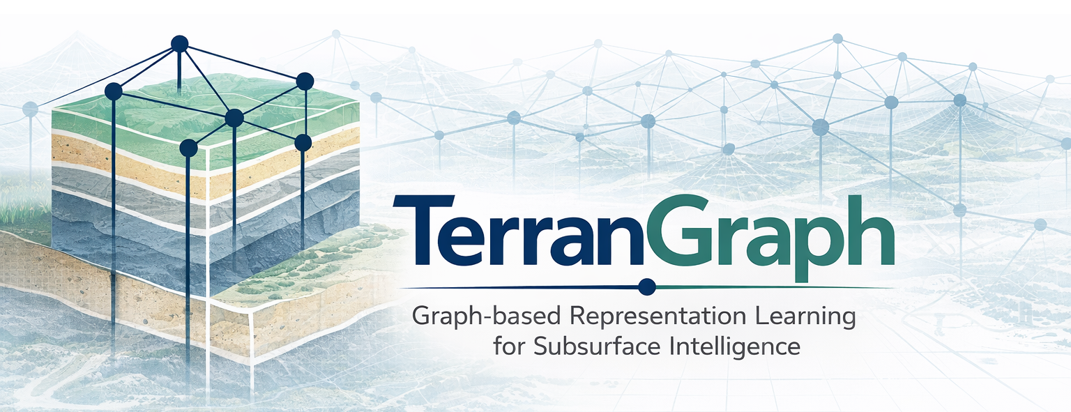



TerranGraph is a Python framework for geotechnical site representation, learning, and visualization. It integrates multi-source data processing, spatial graph construction, graph neural networks, and 3D visualization into a single workflow for subsurface modeling and prediction.
Overview
TerranGraph follows an end-to-end workflow:
Geotechnical Data → Spatial Graph → Representation Learning → Prediction → Visualization
Designed for subsurface modeling and site characterization, TerranGraph bridges geotechnical data and graph-based intelligence.
Features
- Multi-source data integration for Excel and CSV geotechnical datasets
- Spatial graph construction from borehole logs and spatial coordinates
- Graph neural networks for site representation learning and prediction
- 3D visualization with PyVista for subsurface modeling and cross-section analysis
- Interactive GUI based on PyQt5 for workflow exploration
- Scalable training with PyTorch and optional GPU acceleration
- Model export to standard 3D formats such as PLY, OBJ, and STL
Installation
Install the lightweight core package:
pip install terrangraph
Install with graph learning support:
pip install terrangraph[ml]
Install with visualization support:
pip install terrangraph[viz]
Install full features:
pip install terrangraph[all]
Quick Start
from terrangraph import DataHandler, GeoModel, GeoVisualizer

# Load geotechnical data
handler = DataHandler()
unique_types, num_classes = handler.load_data("your_dataset.xlsx")

# Preprocess and align coordinates
rect = handler.compute_mbr()
bounds = handler.align_coordinates(x_res=10, y_res=2, z_res=1)
params_dict = handler.create_param_dict()

# Construct spatial graph
coords, labels, edges = handler.generate_grid(bounds, r=2)

# Train graph neural network
model = GeoModel()
model.prepare_data(coords, labels, edges)
model.build_model(
    num_classes=num_classes,
    hidden_size=48,
    gcn_layers=3,
    mlp_layers=3,
    dropout=0.2
)
history = model.train(epochs=100, lr=3e-3)

# Prediction and visualization
predictions, probabilities = model.predict()
visualizer = GeoVisualizer()
mesh = visualizer.create_model(coords, predictions)
visualizer.show_model(mesh)
Input Data Format
The input dataset should include:
X,Y,Z: spatial coordinatesSoil/Rock Type: soil or rock type classificationBorehole ID: borehole identifier (optional)Borehole Type: borehole category (optional)
Additional geotechnical parameters (e.g., strength, density, CPT measurements, etc.) can be incorporated for extended modeling tasks.
Use Cases
TerranGraph can be used for:
- 3D subsurface modeling
- Borehole-based site characterization
- Graph-based representation learning of geotechnical data
- Similarity-based site comparison and clustering
- Data-driven prediction of soil and rock properties
Project Structure
terrangraph/
├── src/
│   └── terrangraph/
│       ├── __init__.py              # Package exports
│       ├── cli.py                   # Command-line interface
│       └── core/
│           ├── __init__.py
│           ├── data_handler.py      # Data loading and preprocessing
│           ├── geo_model.py         # Graph neural network models
│           └── visualizer.py        # 3D visualization (PyVista)
│
├── assets/                          # Logo and banner images
├── docs/                            # Documentation files
├── CHANGELOG.md                     # Version history
├── LICENSE                          # License
├── pyproject.toml                   # Package configuration
└── README.md                        # Project documentation
Examples
See the examples/ directory:
basic_usage.py: basic workflowadvanced_visualization.py: advanced visualizationbatch_processing.py: batch processingcustom_model.py: custom GNN architectures
Documentation
System Requirements
- Python 3.8+
- 8GB RAM minimum (16GB recommended)
- CUDA-compatible GPU (required for
ml) - OpenGL support for 3D visualization (required for
viz)
Roadmap
Current Capabilities
- Graph-based geotechnical site representation
- Spatial graph construction from borehole data
- GNN-based prediction framework
- 3D subsurface visualization (PyVista)
Next Steps
- Integration of additional geotechnical parameters (e.g., CPT, strength, density)
- Integration of real-time monitoring data (e.g., tunneling operation data)
- Contrastive learning for site similarity analysis
- Support for large-scale geotechnical datasets
- Probabilistic modeling and uncertainty quantification
Contributing
Contributions are welcome! Please see CONTRIBUTING.md for guidelines.
License
This project is licensed under the MIT License - see the LICENSE file for details.
Citation
If you use TerranGraph in your research, please cite:
@software{wang2026terrangraph,
  author = {Wang, Lai},
  title = {TerranGraph: A Graph-Based Framework for Geotechnical Site Representation},
  year = {2026},
  url = {https://github.com/wanglai25/terrangraph}
}
Support
- Email: wanglai@imust.edu.cn
- Issues: GitHub Issues
- Discussions: GitHub Discussions


Download files
Download the file for your platform. If you're not sure which to choose, learn more about installing packages.
Source Distribution
Built Distribution
Filter files by name, interpreter, ABI, and platform.
If you're not sure about the file name format, learn more about wheel file names.
Copy a direct link to the current filters
File details
Details for the file terrangraph-0.2.0.tar.gz.
File metadata
- Download URL: terrangraph-0.2.0.tar.gz
- Upload date:
- Size: 17.7 kB
- Tags: Source
- Uploaded using Trusted Publishing? No
- Uploaded via: twine/6.2.0 CPython/3.12.9
File hashes
| Algorithm | Hash digest | |
|---|---|---|
| SHA256 |
79a826481e5e395aa5db8d74411ec4875d932a29ca9be5118e44f74644b0acd9
|
|
| MD5 |
254be628503832ae04eb61487bc64fa2
|
|
| BLAKE2b-256 |
bd63e2f8f57a69073f5a78278ebc3b8e4cce6a6e534de3339cd9c4d36d8b81b6
|
File details
Details for the file terrangraph-0.2.0-py3-none-any.whl.
File metadata
- Download URL: terrangraph-0.2.0-py3-none-any.whl
- Upload date:
- Size: 17.2 kB
- Tags: Python 3
- Uploaded using Trusted Publishing? No
- Uploaded via: twine/6.2.0 CPython/3.12.9
File hashes
| Algorithm | Hash digest | |
|---|---|---|
| SHA256 |
e30387dc42274e2488bbd2cca8069d7f927bd7a1e7055a46f98c3b5e57ef030a
|
|
| MD5 |
b54de775d1329d3345cec7cf8e9d1385
|
|
| BLAKE2b-256 |
2788adfff8ab6bcb6bb11769b5953df8d4e7efd90d94556c3883e3b3d894de22
|






