
windsaloft
Convert a vectorial raster field into streamlines. The output is in a convenient GeoJSON format.
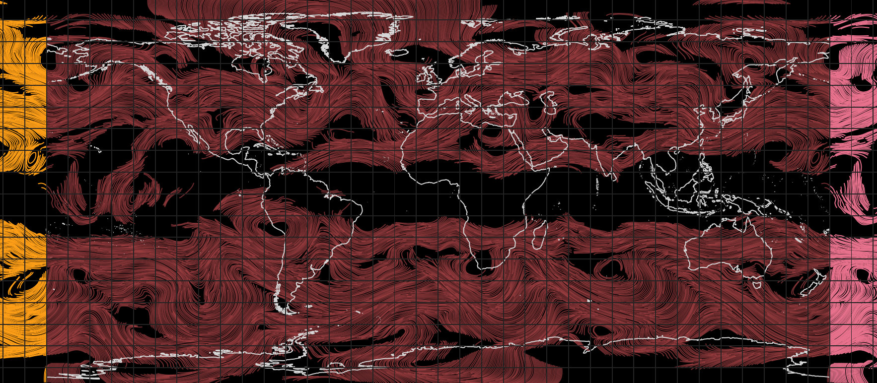
Installation
Install the latest version from the Python Package Index:
$ pip install windsaloft
Usage
To create the streamlines, a vectorial field is needed:
import numpy as np
import geojson
import pygrib
import windsaloft

grib = pygrib.open('data.grib2')
U/V Components
u = grib.select(shortName='u')[0].values
v = grib.select(shortName='v')[0].values
Convert GRIBs data to "standard" -180 to 180 extent global grids
u = np.roll(u, u.shape[1] // 2, axis=1)
v = np.roll(v, v.shape[1] // 2, axis=1)
Calculate streams
feature_collection = windsaloft.jet_streams(u, v, pixel_dist=5, min_value=10, smooth=2, zigzag_degrees=45)
Write output to a file
with open('streams.geojson', 'w') as fileout:
    geojson.dump(feature_collection, fileout, sort_keys=True, separators=(',', ':'))
1 maintainer

Metadata
1 maintainer
Release files for windsaloft 0.0.2
For a detailed explanation of source distributions (sdists) and built distributions (wheels), please see the package formats documentation.
Built distribution (wheel)
| File | Interpreter | ABI | Platform | Reset |
|---|---|---|---|---|
| windsaloft-0.0.2-py3-none-any.whl | Python 3 | none | any | Details |
Release files / windsaloft-0.0.2-py3-none-any.whl
| Download URL | windsaloft-0.0.2-py3-none-any.whl |
|---|---|
| Size | 6.5 kB |
| Tags | Python 3 |
|
SHA-256 checksum How to use checksums |
51169f2e13af4acceb93ecb8aead5664623ddb80313ac54854f76d772c1853c5
|
|
BLAKE2b-256 checksum How to use checksums |
893889c000d3b1b41d3aea4497c96484675fe4c669ec04d83c447b5c6a022039
|
| Upload date | |
|
Uploaded using Trusted Publishing? What is trusted publishing? |
No |
| Uploaded via |
twine/3.4.1 importlib_metadata/4.0.1 pkginfo/1.7.0 requests/2.25.1 requests-toolbelt/0.9.1 tqdm/4.60.0 CPython/3.9.4
|













