Simple python module for geospatial intelligence workflows.

Project description
geoint-py
A bunch of geospatial intelligence workflows implemented using Python.
Features
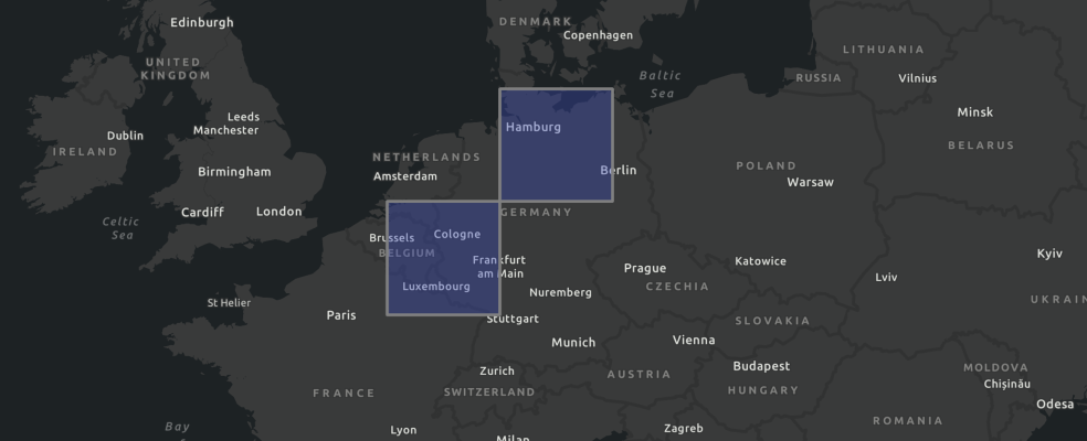
Create a rectangular spatial grid for binning
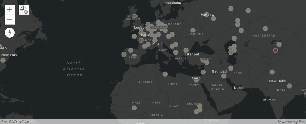
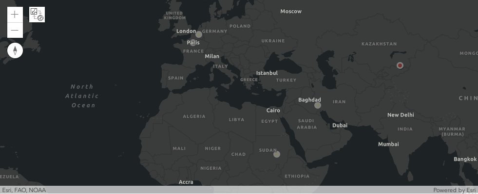
Visualize broadcasted news related to protests/demonstrations using the geoprotests API
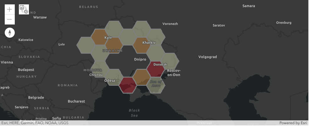
Visualize armed conflict events using the geoconflicts API
Usage
Take a look at the following jupyter notebooks:
References
Geospatial Intelligence Publications
Release history Release notifications | RSS feed


Download files
Download the file for your platform. If you're not sure which to choose, learn more about installing packages.
Source Distribution
geoint-0.2.tar.gz
(8.4 kB
view details)
Built Distribution
Filter files by name, interpreter, ABI, and platform.
If you're not sure about the file name format, learn more about wheel file names.
Copy a direct link to the current filters
geoint-0.2-py3-none-any.whl
(9.4 kB
view details)
File details
Details for the file geoint-0.2.tar.gz.
File metadata
- Download URL: geoint-0.2.tar.gz
- Upload date:
- Size: 8.4 kB
- Tags: Source
- Uploaded using Trusted Publishing? No
- Uploaded via: twine/4.0.2 CPython/3.10.6
File hashes
| Algorithm | Hash digest | |
|---|---|---|
| SHA256 |
aec8f4dd7d13555237d55843d40136184aa57dba6da3ca43d3ba7751c88310ad
|
|
| MD5 |
fe311d389d9e7815f85ddf2592f1f9d1
|
|
| BLAKE2b-256 |
8e78d996a395963a44c2a28ca421af092222b60c8d440ba622c05476f6a87f21
|
File details
Details for the file geoint-0.2-py3-none-any.whl.
File metadata
- Download URL: geoint-0.2-py3-none-any.whl
- Upload date:
- Size: 9.4 kB
- Tags: Python 3
- Uploaded using Trusted Publishing? No
- Uploaded via: twine/4.0.2 CPython/3.10.6
File hashes
| Algorithm | Hash digest | |
|---|---|---|
| SHA256 |
c58fd37118c9270f976df7e331c27d559e9620e120ebd6120284c6bc667bb6db
|
|
| MD5 |
330bdd9fb94e2cd4d5914d80f60266ff
|
|
| BLAKE2b-256 |
2965e2bca009c7ab673affdab0b19d5afd525ae9fede9a96094d2fc2c03f3674
|


