
cesiumkit
Build CesiumJS 3D globe visualizations entirely in Python.





cesiumkit gives you a Pythonic, object-oriented API for CesiumJS -- the leading open-source JavaScript library for 3D globes and maps. Define entities, materials, camera views, terrain, imagery, and time-dynamic animations in pure Python, then render them in the browser with a single call.
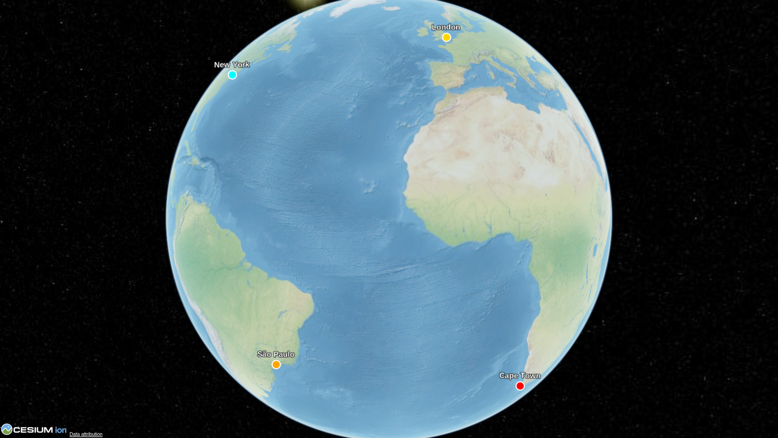
import cesiumkit

viewer = cesiumkit.Viewer(title="Hello Globe")
viewer.add_entity(
    cesiumkit.Entity(
        name="New York",
        position=cesiumkit.Cartesian3.from_degrees(-74.006, 40.7128, 400),
        point=cesiumkit.PointGraphics(pixel_size=12, color=cesiumkit.Color.RED),
    )
)
viewer.show()  # opens in your browser
That's it -- 6 lines from Python to a 3D globe in the browser.
Gallery
 |
 |
 |
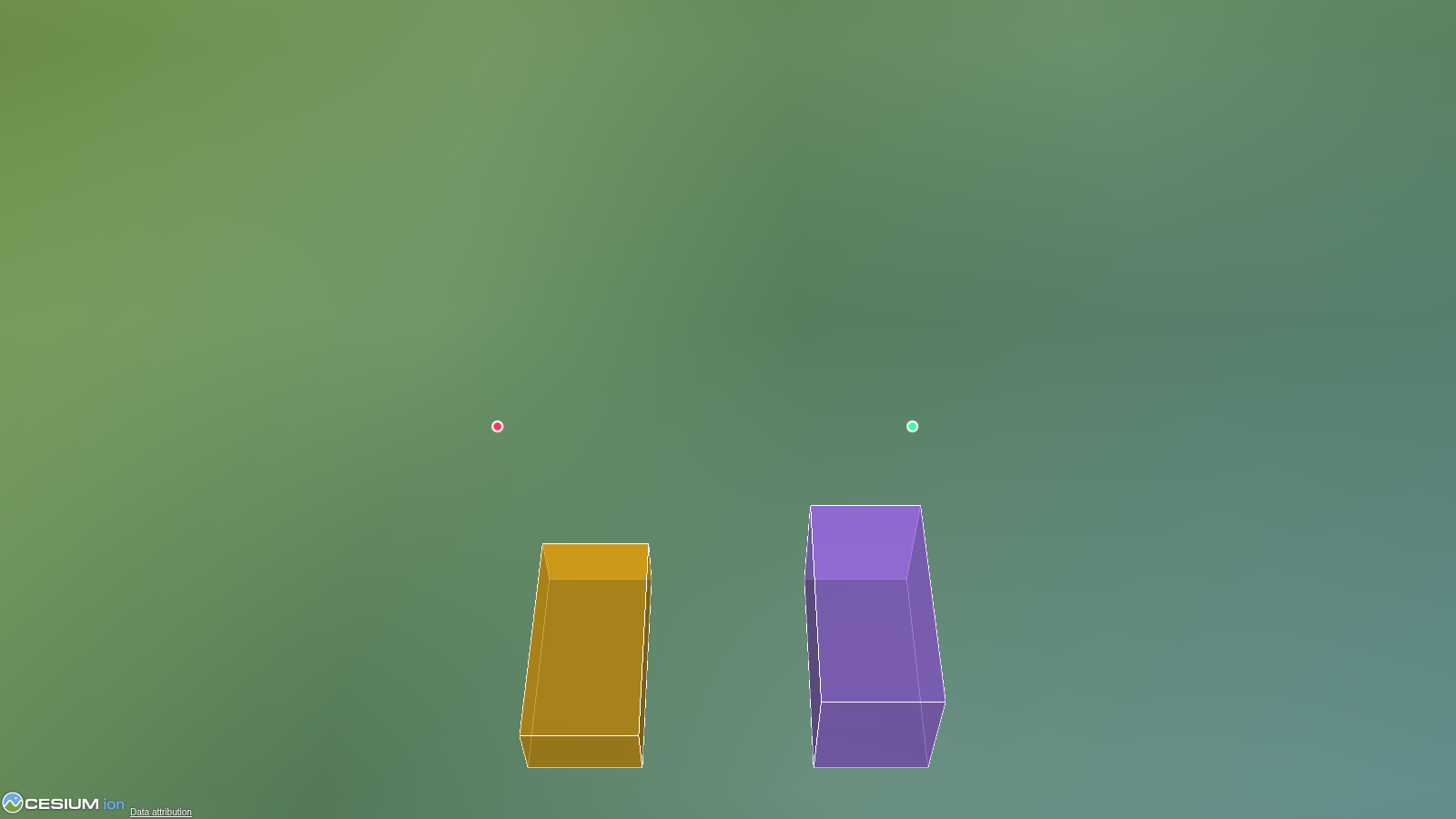 |
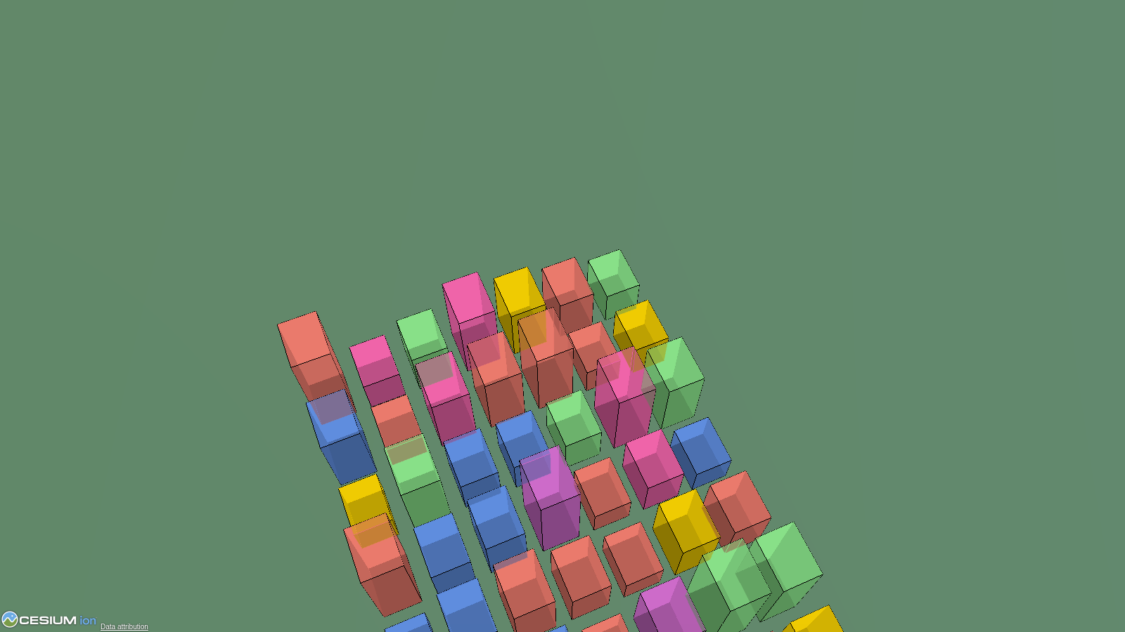 |
More → |
Install
pip install cesiumkit
Requires Python 3.10+. No external binary dependencies.
For GeoPandas / Shapely support:
pip install cesiumkit[gis]
Offline use
By default the generated pages load CesiumJS from the CDN. To run fully
offline (air-gapped machines, CI, headless servers), vendor the Cesium build
once and show() will serve it locally, including the NaturalEarthII
fallback imagery:
python scripts/fetch_cesium.py # downloads the CesiumJS 1.144 release (~120 MB)
The wheel built by the PyPI publish workflow includes the vendored build, so
pip install cesiumkit works offline out of the box after that point.
Static HTML export and Jupyter embedding still load from the CDN.
Features
GeoPandas / Shapely integration
Drop a GeoDataFrame onto the globe in one call. Auto-reprojects to WGS84,
handles mixed geometry types, supports per-feature styling from columns.
import geopandas as gpd
import cesiumkit

gdf = gpd.read_file("countries.geojson")
viewer = cesiumkit.Viewer()
viewer.add_geodataframe(
    gdf,
    name_column="NAME",
    color_column="color_hex",
    extruded_height_column="gdp",  # polygons become 3D prisms
    fill_alpha=0.5,
)
viewer.show()
Shapely geometries are also auto-converted anywhere cesiumkit expects
positions — pass a shapely.Point directly to Entity(position=...) or a
shapely.Polygon to PolygonGraphics(hierarchy=...).
Entities with rich graphics
Points, billboards, labels, polygons, polylines, boxes, cylinders, ellipses, ellipsoids, corridors, walls, rectangles, paths, polyline volumes, and 3D models -- all as clean Python objects.
viewer.add_entity(
    cesiumkit.Entity(
        name="Headquarters",
        position=cesiumkit.Cartesian3.from_degrees(-77.0369, 38.9072, 0),
        polygon=cesiumkit.PolygonGraphics(
            hierarchy=[
                cesiumkit.Cartesian3.from_degrees(-77.04, 38.91),
                cesiumkit.Cartesian3.from_degrees(-77.03, 38.91),
                cesiumkit.Cartesian3.from_degrees(-77.035, 38.905),
            ],
            material=cesiumkit.Color.CORNFLOWERBLUE.with_alpha(0.6),
            extruded_height=200,
        ),
    )
)
Materials
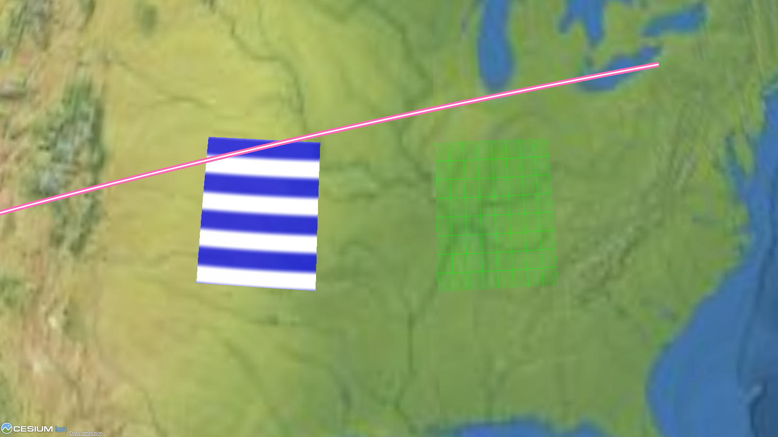
Solid colors, images, grids, stripes, checkerboards, and polyline-specific materials (glow, arrow, dash, outline).
cesiumkit.StripeMaterial(
    orientation=cesiumkit.StripeOrientation.HORIZONTAL,
    even_color=cesiumkit.Color.WHITE,
    odd_color=cesiumkit.Color.BLUE,
    repeat=5,
)
Time-dynamic animation
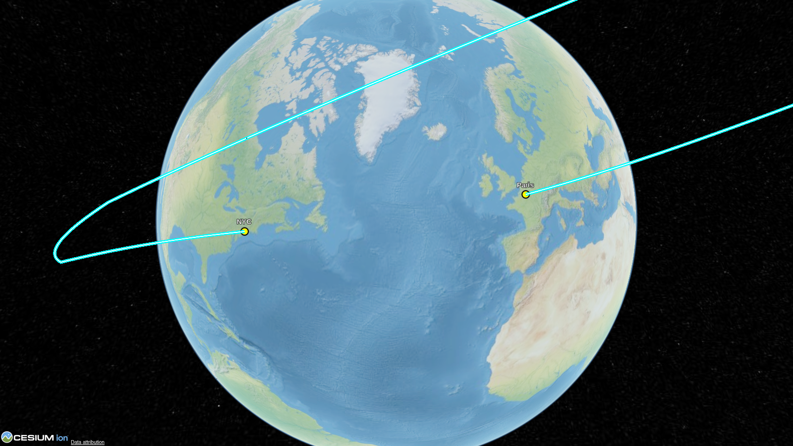
Animate entities along paths using sampled position properties with configurable interpolation.
prop = cesiumkit.SampledPositionProperty(interpolation_degree=2)
prop.add_sample(
    cesiumkit.JulianDate.from_iso8601("2024-01-01T00:00:00Z"), cesiumkit.Cartesian3.from_degrees(-122.4, 37.8, 10000)
)
prop.add_sample(
    cesiumkit.JulianDate.from_iso8601("2024-01-01T01:00:00Z"), cesiumkit.Cartesian3.from_degrees(-73.9, 40.7, 10000)
)
entity = cesiumkit.Entity(
    name="Flight", position=prop, path=cesiumkit.PathGraphics(width=2, material=cesiumkit.Color.YELLOW)
)
Live runtime control
Control a running viewer from Python: update the clock and data sources, select or pick entities, receive click callbacks, and capture screenshots.
viewer.set_time("2026-07-14T18:00:00Z")
viewer.set_multiplier(60)
viewer.animate(True)
viewer.on_click(lambda entity_id: print("clicked", entity_id))
See the runtime control guide for the server lifecycle and complete examples.
Data sources
Load GeoJSON, CZML, and KML directly.
viewer.add_data_source(
    cesiumkit.GeoJsonDataSource(
        url="https://example.com/data.geojson",
        stroke=cesiumkit.Color.RED,
        fill=cesiumkit.Color.RED.with_alpha(0.3),
    )
)
Camera control
Fly to locations, set fixed viewpoints, or lock the camera to a target.
viewer.fly_to(
    cesiumkit.Cartesian3.from_degrees(2.2945, 48.8584, 1000),
    orientation=cesiumkit.HeadingPitchRoll(heading=0.3, pitch=-0.4, roll=0),
    duration=3.0,
)
CZML export
Build visualizations in Python and export to CZML for use in any CesiumJS application.
czml_string = viewer.to_czml_string(indent=2)
viewer.save_czml("output.czml")
Imagery and terrain providers
8 imagery providers (Bing, OpenStreetMap, SingleTile, WMTS, WMS, URL template, Ion, TileMapService) and terrain providers for Cesium Ion, Cesium terrain servers, ellipsoid, and encoded WMS/WMTS heightmaps.
Cesium Ion integration
cesiumkit.Ion.set_default_token("your-token-here")
viewer.add_tileset(ion_asset_id=75343)  # e.g., NYC 3D buildings
Interactive events
Add click handlers and custom JavaScript for full interactivity.
viewer.on(
    cesiumkit.ScreenSpaceEventType.LEFT_CLICK,
    cesiumkit.JsCode("""function(click) {
        var picked = viewer.scene.pick(click.position);
        if (Cesium.defined(picked)) viewer.selectedEntity = picked.id;
    }"""),
)
Full feature list
- 17 entity graphics types: point, billboard, label, polygon, polyline, box, cylinder, ellipse, ellipsoid, model, corridor, wall, rectangle, path, plane, polyline volume, tileset
- Particle systems: validated scene primitives for smoke, fire, weather, and engine trails
- 9 material types: solid color, image, grid, stripe, checkerboard, polyline glow/arrow/dash/outline
- 148 named colors with
.with_alpha()support - Time-dynamic properties: SampledPositionProperty, SampledProperty, ConstantProperty, TimeIntervalCollectionProperty, ReferenceProperty, CompositeProperty
- Data sources: GeoJSON, CZML, KML, custom
- Imagery providers: Bing, OSM, SingleTile, WMTS, WMS, URL template, Ion, TMS
- Terrain providers: Ion world terrain, Ion asset, Cesium terrain server, ellipsoid, encoded WMS/WMTS heightmaps
- Camera operations: fly_to, set_view, look_at, fly_to_entities, fly_to_bounding_sphere
- Entity clustering: EntityClusterConfig groups nearby points, billboards, and labels
- 3D Tiles styling: Cesium3DTileStyle per-feature color, show, and point-size conditions
- CZML export: to_czml_string(), save_czml(), CzmlDocument
- Local rasters:
add_rasterdisplays GeoTIFF/COG files or xarray DataArrays as Web Mercator tiles - Large point data:
add_pointsaggregates millions of points via datashader into an imagery layer - Cesium Ion: token management, 3D Tilesets, terrain
- Scene/Globe configuration: fog, lighting, depth test, atmosphere, post-processing, terrain exaggeration
- Runtime control: clock, live CZML/GeoJSON, selection, picking, screenshots, and Python click callbacks
- Event handling: ScreenSpaceEventHandler with custom JS or Python callbacks
- Custom JavaScript injection: add_script() for arbitrary JS
- Local HTTP server:
show()launches a server and opens the browser; serves a bundled offline Cesium build when present - Jupyter widget:
viewer.to_widget()renders in a notebook with live clock control, click events, and screenshots ([widget]extra) - Headless render testing:
cesiumkit.testingrenders and screenshots viewers in CI without a display (playwright) - Works without Ion token: falls back to the bundled NaturalEarthII imagery (offline when vendored)
- Pydantic v2 models: full validation on all inputs
API overview
| Module | Key classes |
|---|---|
cesiumkit.Viewer |
Main entry point -- configure, add entities, show |
cesiumkit.Entity |
Container for a named entity with position + graphics |
cesiumkit.Cartesian3 |
3D coordinates, with .from_degrees() helper |
cesiumkit.Color |
148 named colors + RGBA + .with_alpha() |
cesiumkit.*Graphics |
PointGraphics, PolygonGraphics, ModelGraphics, ... |
cesiumkit.*Material |
StripeMaterial, PolylineGlowMaterial, ... |
cesiumkit.*Property |
SampledPositionProperty, ConstantProperty, ... |
cesiumkit.*DataSource |
GeoJsonDataSource, CzmlDataSource, KmlDataSource |
cesiumkit.CzmlDocument |
Build and export CZML documents |
cesiumkit.Ion |
Token management and 3D Tilesets |
Examples
The examples/ directory contains 11 runnable scripts:
| # | File | What it shows |
|---|---|---|
| 01 | 01_basic_point.py |
Minimal point on the globe |
| 02 | 02_shapes_and_materials.py |
Points, labels, shapes, and materials |
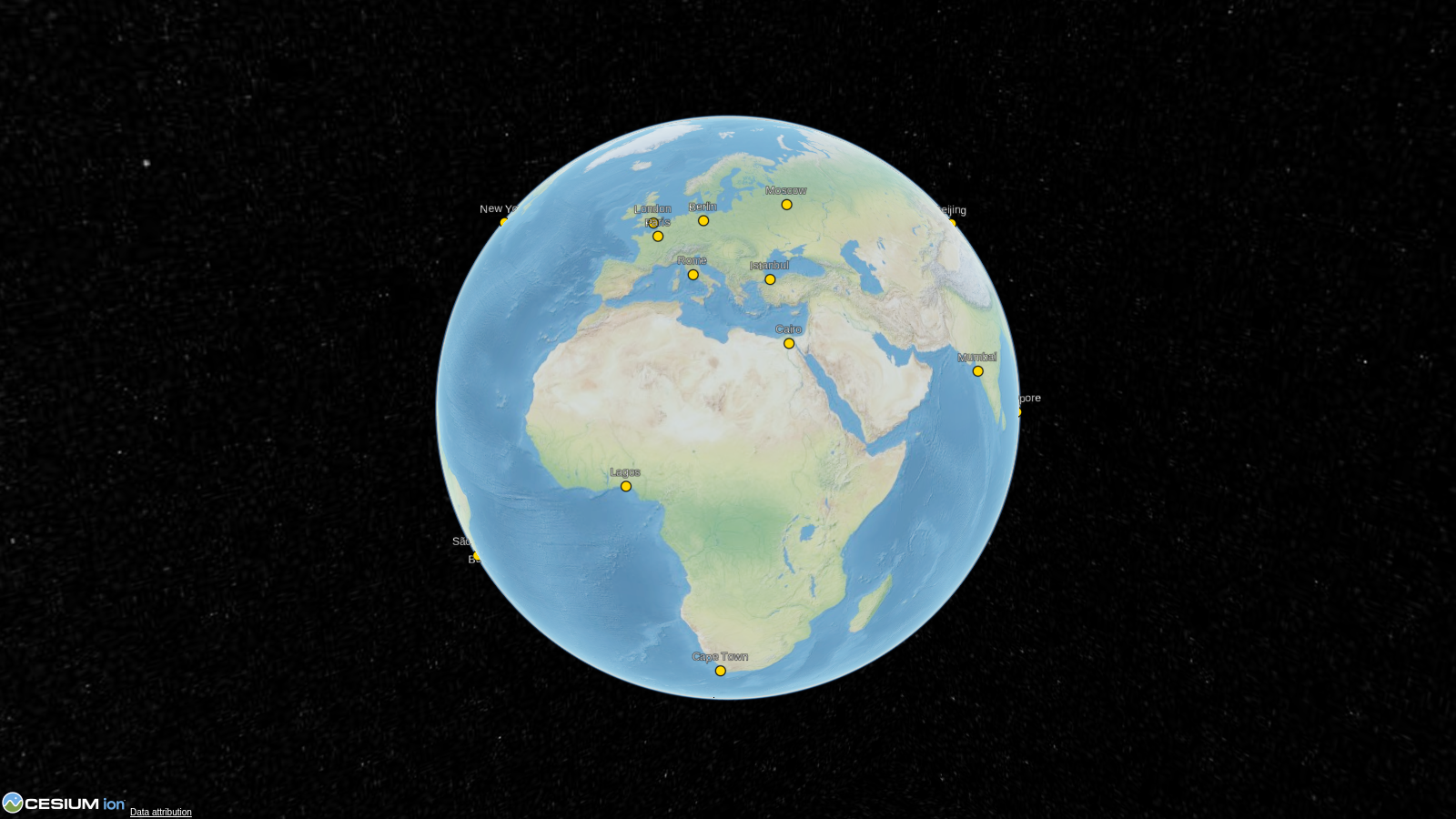
| 03 | 03_multiple_cities.py |
Multiple entities on the globe |
| 04 | 04_time_dynamic_satellite.py |
Animated satellite path with clock |
| 05 | 05_geojson_and_datasources.py |
GeoJSON, CZML, and KML loading |
| 06 | 06_terrain_and_imagery.py |
Terrain and imagery providers |
| 07 | 07_3d_models_and_tilesets.py |
glTF models and 3D Tiles |
| 08 | 08_czml_export.py |
Export entities to CZML format |
| 09 | 09_camera_controls.py |
fly_to, set_view, and look_at |
| 10 | 10_event_handlers.py |
Click events and custom JavaScript |
| 11 | 11_runtime_control.py |
Live controls and Python click callbacks |
Run any example:
python examples/01_basic_point.py
# Opens in browser -- Ctrl+C to stop the server
Cesium Ion token
Many examples work without a token (using bundled offline imagery). For full functionality (Bing imagery, world terrain, 3D Tilesets), get a free token at cesium.com/ion and set it:
cesiumkit.Ion.set_default_token("your-token-here")
Contributing
See CONTRIBUTING.md for development setup, testing, and how to add new entity types.
License
1 maintainer

Metadata
1 maintainer
Release files for cesiumkit 0.6.0
For a detailed explanation of source distributions (sdists) and built distributions (wheels), please see the package formats documentation.
Source distribution (sdist)
| File | Size | Uploaded | |
|---|---|---|---|
| cesiumkit-0.6.0.tar.gz | 6.0 MB | Details |
Built distribution (wheel)
| File | Interpreter | ABI | Platform | Reset |
|---|---|---|---|---|
| cesiumkit-0.6.0-py3-none-any.whl | Python 3 | none | any | Details |
Total release size: 12.2 MB
Release files / cesiumkit-0.6.0.tar.gz
| Download URL | cesiumkit-0.6.0.tar.gz |
|---|---|
| Size | 6.0 MB |
| Tags | Source |
|
SHA-256 checksum How to use checksums |
c9111cf6d3404e338422e315ffb7eddeaae9a2283d42f2aab912ccd7c5d088cc
|
|
BLAKE2b-256 checksum How to use checksums |
d337550620ad0415f1a1933321bf5f2b0a8e8f21096d76a7e619223d9c6221ea
|
| Upload date | |
|
Uploaded using Trusted Publishing? What is trusted publishing? |
Yes |
| Uploaded via |
twine/7.0.0 CPython/3.13.14
|
Provenance
Provenance describes where a file came from. On PyPI, provenance is shared via attestations, which provide a verifiable record of the build or publishing details. View details, limitations and caveats.


PyPI Publish Attestation
PyPI verified that this artifact, at this checksum, originated from the publisher listed below.
Signed by GitHub Actions, verified by PyPI on Aug 4, 2026.
Transparency logRelease files / cesiumkit-0.6.0-py3-none-any.whl
| Download URL | cesiumkit-0.6.0-py3-none-any.whl |
|---|---|
| Size | 6.2 MB |
| Tags | Python 3 |
|
SHA-256 checksum How to use checksums |
8fe0506cc2feb48cd3f5065349e8b6343bec46bda44f3f934ac8d22b8a2f6c4d
|
|
BLAKE2b-256 checksum How to use checksums |
202de3a089493482b5a9545d3e11e2b8c16c949183fe72bca7790a34f6f8939e
|
| Upload date | |
|
Uploaded using Trusted Publishing? What is trusted publishing? |
Yes |
| Uploaded via |
twine/7.0.0 CPython/3.13.14
|
Provenance
Provenance describes where a file came from. On PyPI, provenance is shared via attestations, which provide a verifiable record of the build or publishing details. View details, limitations and caveats.
PyPI Publish Attestation
PyPI verified that this artifact, at this checksum, originated from the publisher listed below.
Signed by GitHub Actions, verified by PyPI on Aug 4, 2026.
Transparency log













